Oradea Map for Visitors: Squares, Fortress and Riverside
A visitor's map of Oradea's centre: where Union Square, the fortress and the Crișul Repede riverside sit, and how the streets connect on foot.
On this page
Oradea's centre is compact enough to walk, and orienting yourself around a river and a single main square makes any map of it legible. Put the old centre on one side and the fortress area within reach of it, use Union Square as your starting anchor, and the rest of the streets fall into place. This guide maps the centre for pedestrians, from Union Square to the fortress area, and explains which online map tools are worth using before you go.
The city sits in Bihor county, in Transylvania, about 8 km from the Hungarian border. That single geographic fact is enough to place it on a country map and to see why it works as a stop between Hungary and the rest of Transylvania.
Where Oradea is on a map
On a map of Romania, Oradea sits in the north-west, in Bihor county within Transylvania, roughly 8 km from the Hungarian border. It is the last major Transylvanian city before Hungary, which is why a car route from Budapest or Debrecen reaches it before any other stop covered on this site.
For a road journey, a road map is the right tool rather than a street-level plan. A Michelin map of Oradea and Bihor shows the town within its county and road network, which is what you need when arriving by car and deciding which approach road to take.
A map cannot tell you whether the city deserves a stop; that is a judgement you make on your own itinerary. What the map does show clearly is that the centre is a tight cluster of streets on both sides of one river, which is what makes a walking plan practical.
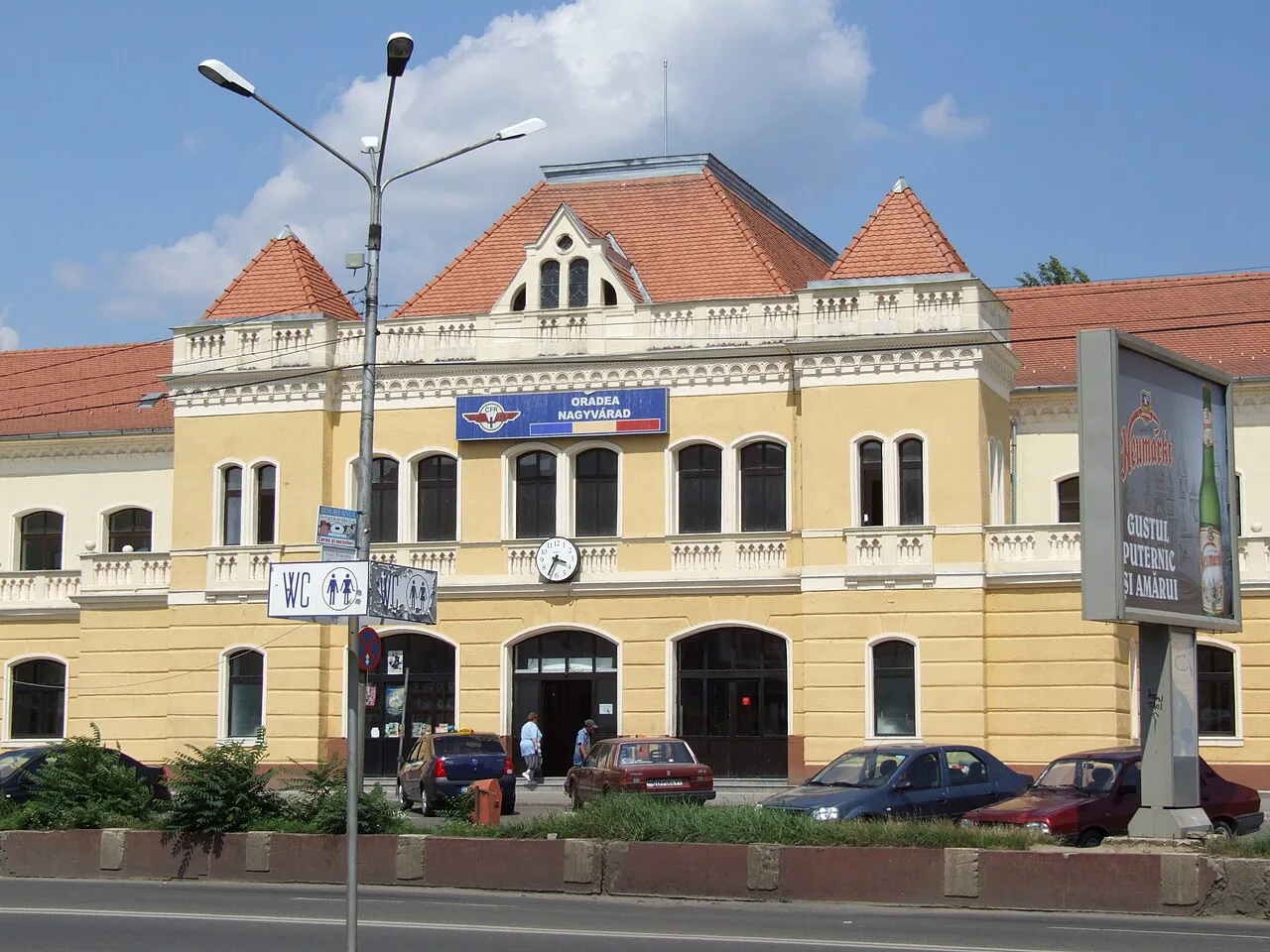
The Crișul Repede as your reference line
The Crișul Repede runs through the centre of Oradea, and once you find it on a map, everything else is easy to place. Treat it as your spine: the old centre and the streets around Union Square spread out on either side, and the fortress area is a short walk away. Any route you sketch should cross the river at least once, because the two halves of the centre are meant to be walked together.
Walking along the river is the simplest way to keep your bearings in a city you do not know. If you lose track of the streets, head back to the water and follow it until a bridge brings you back to the side you want.
Before you leave, use an interactive street map to check the riverside path and the bridges at street level. The Oradea street map lets you switch between driving, walking, cycling and transit modes, so you can test whether a riverside route is continuous on foot before committing to it.
Union Square and the old-centre streets
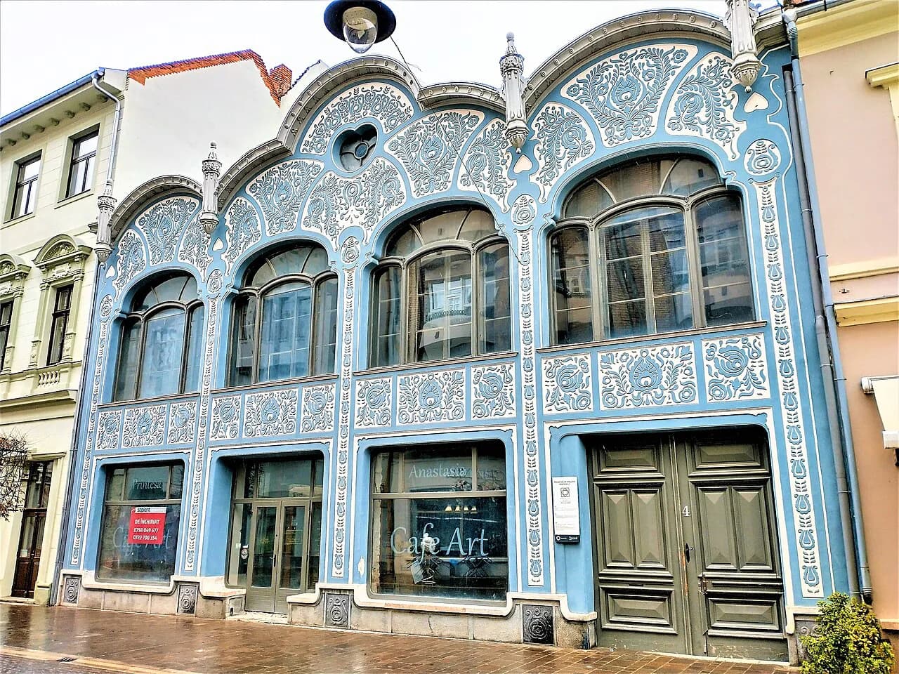
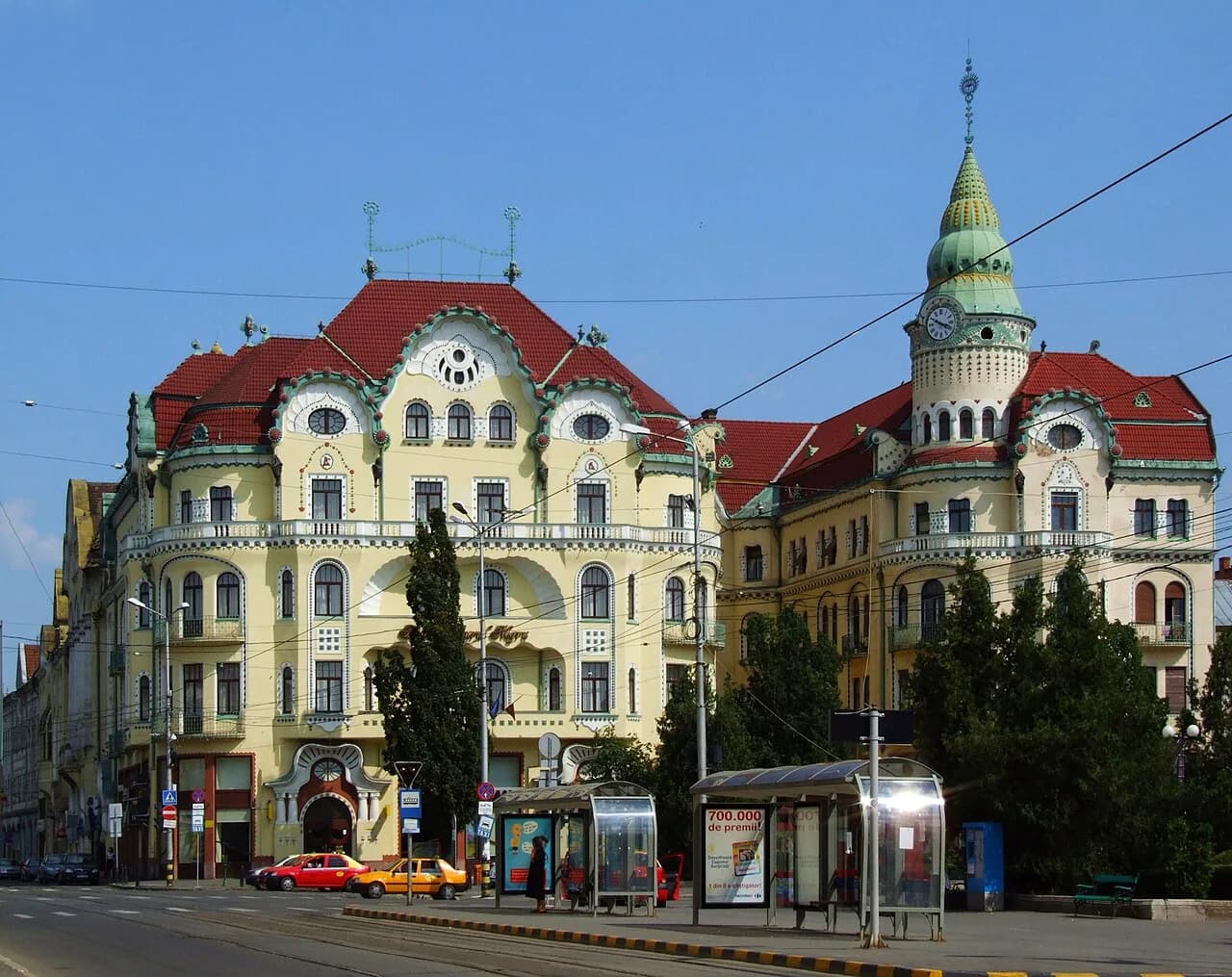
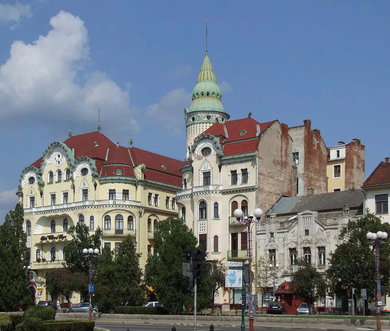
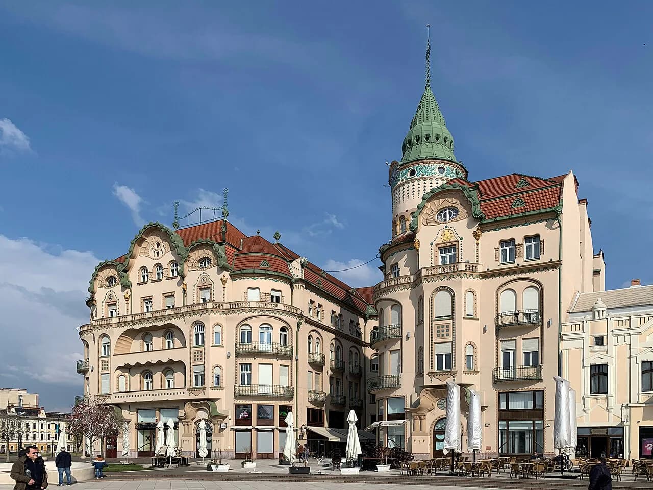
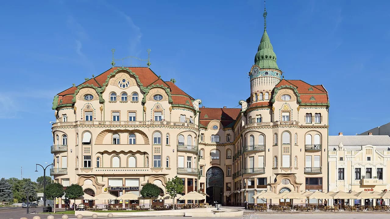
Piața Unirii, Union Square, is the anchor of the centre and the place to start any walk. Zoom to street level and you will see the surrounding grid of old-centre streets fanning out from it, which is where the city's Art Nouveau frontages cluster.
If Art Nouveau is why you came, use the square as your base and work outwards. Our guide to Oradea Art Nouveau picks out the facades and streets worth the detour, and the map tells you how they connect to the square.
Do not try to memorise individual building positions from a screen. Find the square, note the streets leaving it, and let the map do the rest while you walk; the old centre is small enough that a wrong turn costs a few minutes, not a morning.
The fortress side of the river
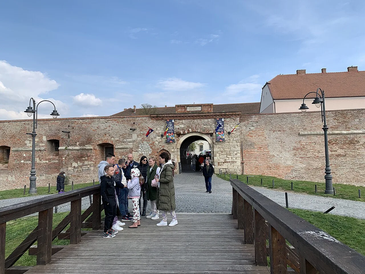
The fortress area is a short walk from Union Square and appears on any street map as a large enclosed site within the centre. Mark it as a second anchor: a walk that takes in Union Square and then continues to the fortress covers the two halves of the centre in one loop.
Plan the crossing before you go rather than hunting for a bridge with a phone in your hand. Find the nearest bridge to your starting point on the map, note its name, and treat it as the pivot of the walk.
Check the elevation profile if you are walking with luggage or with anyone who finds slopes hard. The interactive street map includes an elevation profile for the route you plot, which flags the climbs between the river and the streets behind the centre.
How long the core takes to cross on foot
The walkable core, from Union Square across the river to the fortress area, is a short city-centre crossing rather than a day's hike. Most visitors can cover the ground between the two anchors in well under an hour of pure walking, which leaves the rest of the day for the stops themselves.
Use the map's walking mode to time your own version of the route instead of guessing. Plot from your starting point to Union Square, then on to the fortress side, and the map returns a total distance and route time for the walk; add time for stops on top of that.
A weekend gives you enough time to walk the centre twice, once to orient and once to look properly. Our guide to Oradea in a Weekend sets out how to split the days without rushing the core.
Using the online street map before you go
The interactive Oradea map is built for planning routes rather than browsing postcards. Pick a start and end point, choose driving, walking, cycling or transit, and the tool draws the route with a total distance and total route time. The same tool includes measurement and coordinate readouts, a print function and GPX download for offline use, so you can carry the day's plan without a signal.
Printing is the most underrated feature: a single sheet with your route and the river marked is faster to consult on a street corner than squinting at a phone. Set the print orientation and title, generate the PDF, and keep it in a pocket.
If you would rather follow a ready-made line than plot your own, our Oradea walking tour covers the sequence on the ground; check the route on the map first so you know which bank you are on.
Which map style suits which job
For walking the centre, street detail is what matters: named streets, the river, bridges and the square. An interactive street map at street level does that job, and its walking mode turns the detail into a route with a time attached.
For arriving by car, a road map is the better tool because it shows the approach roads and the county context rather than every alley. The Michelin map of Oradea and Bihor covers the town within its surroundings, which is what you want before the last few kilometres.
Use the two together: the road map to get into the city, the street map to walk it. Downloading or printing the walking route in advance saves you from doing both jobs at once in traffic.
Which map to open first
Open the street map first, find the Crișul Repede, and pin Union Square and the fortress on either side of it. That single line turns a maze of streets into two halves you can walk in a loop, with the river as the way back if you get turned around.
Keep the road map for the drive in and the street map for the day itself. Plot your loop, print it, and check the elevation profile before you set off with bags.
Explore more Oradea guides
Frequently Asked Questions
Which country is Oradea in?
Oradea is in Romania, in Bihor county in the region of Transylvania, about 8 km from the Hungarian border.
Is Oradea in Transylvania?
Yes. Oradea lies in Transylvania, specifically in Bihor county in the north-west of Romania, close to the Hungarian border.
How far is Oradea from the Hungarian border?
Oradea sits roughly 8 km from the Hungarian border, which places it among the first Transylvanian cities reached on a drive from Hungary.
How do I plan a walking route through central Oradea?
Find the Crișul Repede on a street map, use Union Square and the fortress area as your two anchors, and plot a loop between them using the map's walking mode, which returns a total distance and route time.
Can I use a street map offline in Oradea?
The interactive street map offers a print function that generates a PDF of your route, and a GPX download for use in a device or app that opens GPX files.
Sources
Useful notes for your next trip
Optional updates to our guides.
You might also like
Continue reading
More guides you'll find useful