Alba Iulia Map: The Citadel, Cathedrals and Lower Town
Use this Alba Iulia map guide to place the star-shaped Alba Carolina Citadel, its gates and St Michael's Cathedral before you walk the lower town.
On this page
Alba Iulia makes sense on a map as two layers: a star-shaped walled citadel on high ground and an ordinary lower town spread out beneath it. Almost everything a short visit is built around sits inside the walls, so getting your bearings at a gate matters more than memorising street names.
This guide treats the fortress as a shape rather than a tick-list, explains which landmarks sit inside the walls and which lie below, and suggests how to walk the circuit without backtracking. It covers orientation only; ticket desks and individual museum pages carry the practical detail for each site.
Where Alba Iulia sits on the map
Alba Iulia stands on the Mureș in Alba County, in the Transylvania region of central Romania. For a map search, the county name matters: Alba is a județ as well as a city, so pins for Alba County and for Alba Iulia itself are not the same thing.
On a national map the city sits well inland, roughly midway between the western border and the Carpathian arc. That position is why it works as a stop between Cluj-Napoca, Sibiu and Sebeș rather than as a standalone destination at the end of a long detour.
The upper and lower towns share one continuous street grid on paper, which is exactly why so many maps blur them together. Read the contour instead: the citadel occupies the flat plateau, and the lower town spreads across the ground below its bastions.
The star plan of the Alba Carolina Citadel
The Alba Carolina Citadel is a star-plan fortress built in the early eighteenth century and named after the Habsburg emperor Charles VI. On a map the outline reads as a polygon with projecting corners, not a neat square, so compare the shape with the street pattern before you commit to an approach.
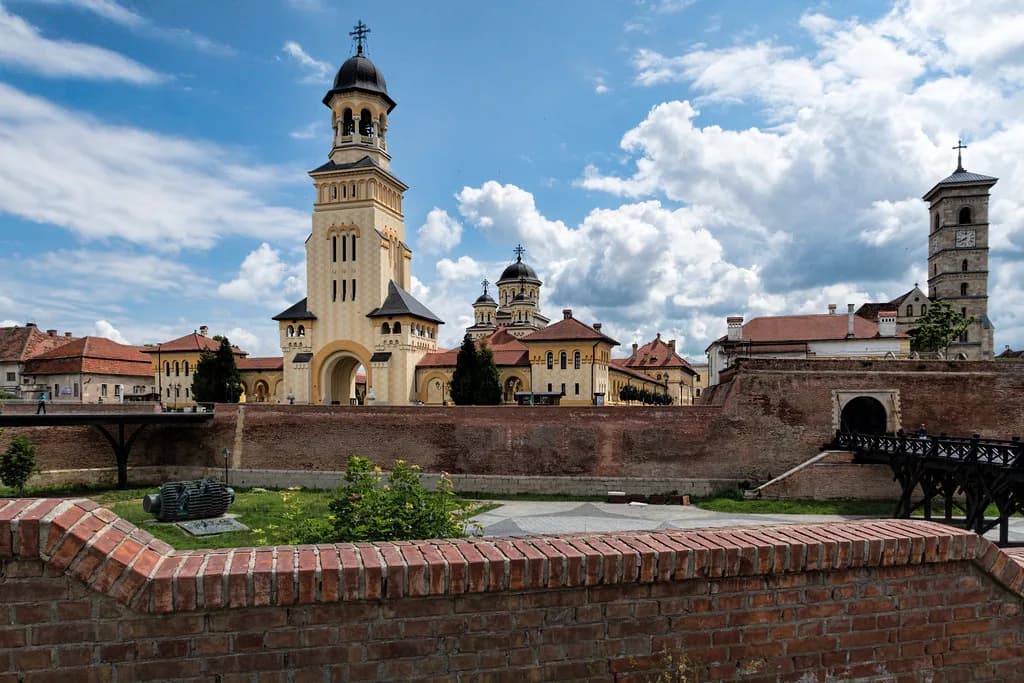
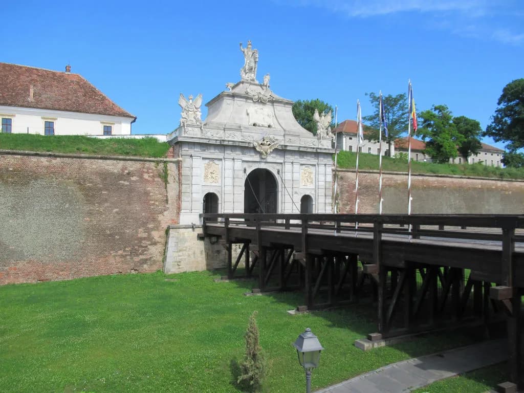
Access to the citadel is through entrance gates decorated with pilasters and statues. Those gates are the wayfinding markers you actually meet on the ground, so pick the one nearest your approach and treat it as your anchor for the whole visit.
Inside, the plan opens into quiet lanes and squares rather than one grand axis. That matters for navigation: once through a gate you can wander, but you will reorient faster by heading for the cathedral at the centre than by trying to follow a straight line.
Inside the walls: St Michael's Cathedral at the centre
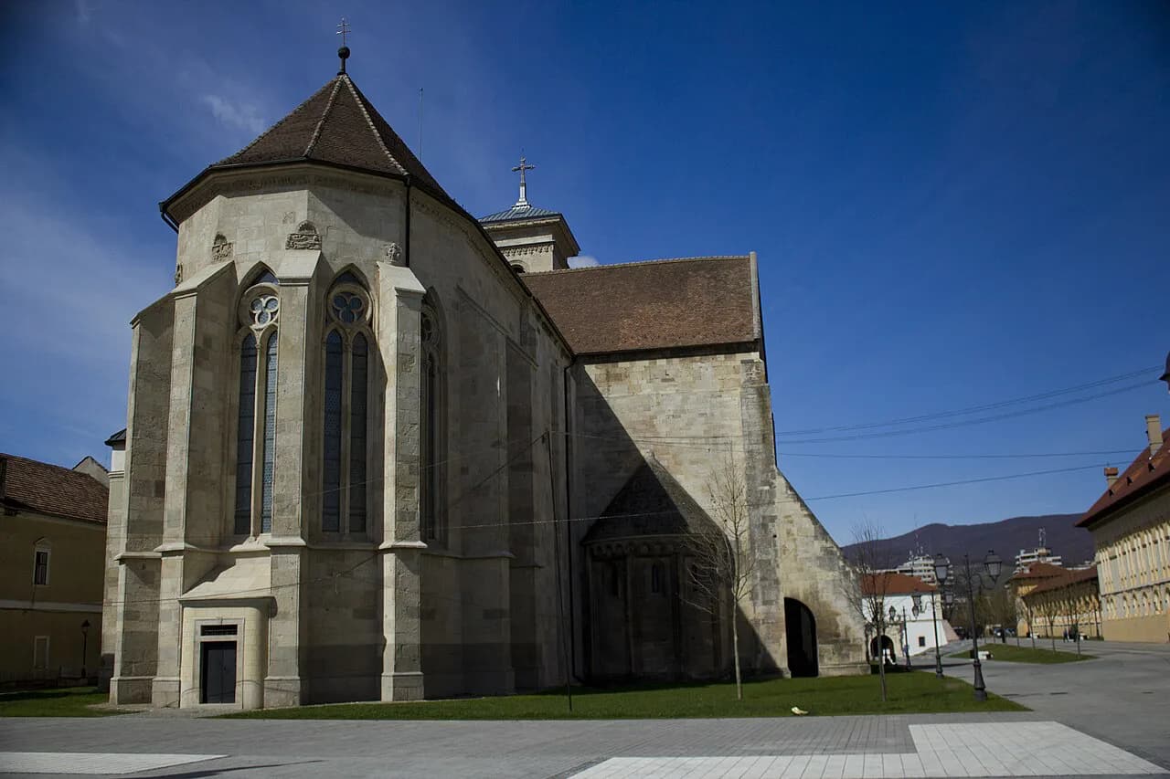
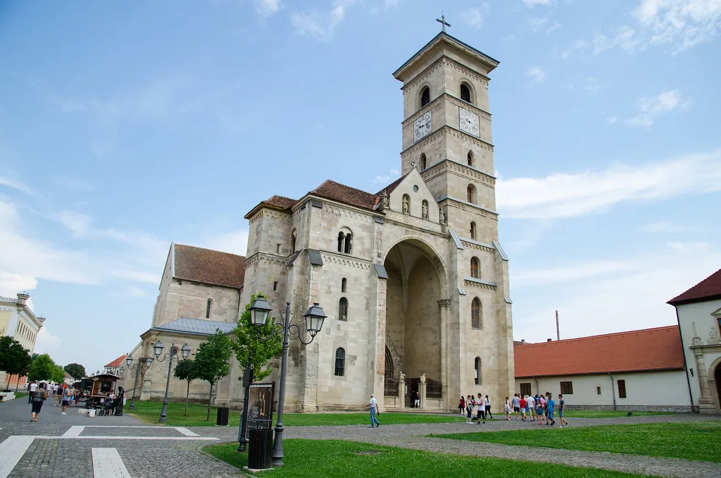
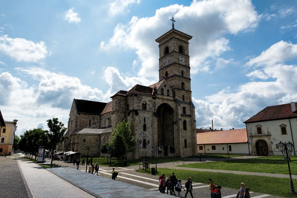
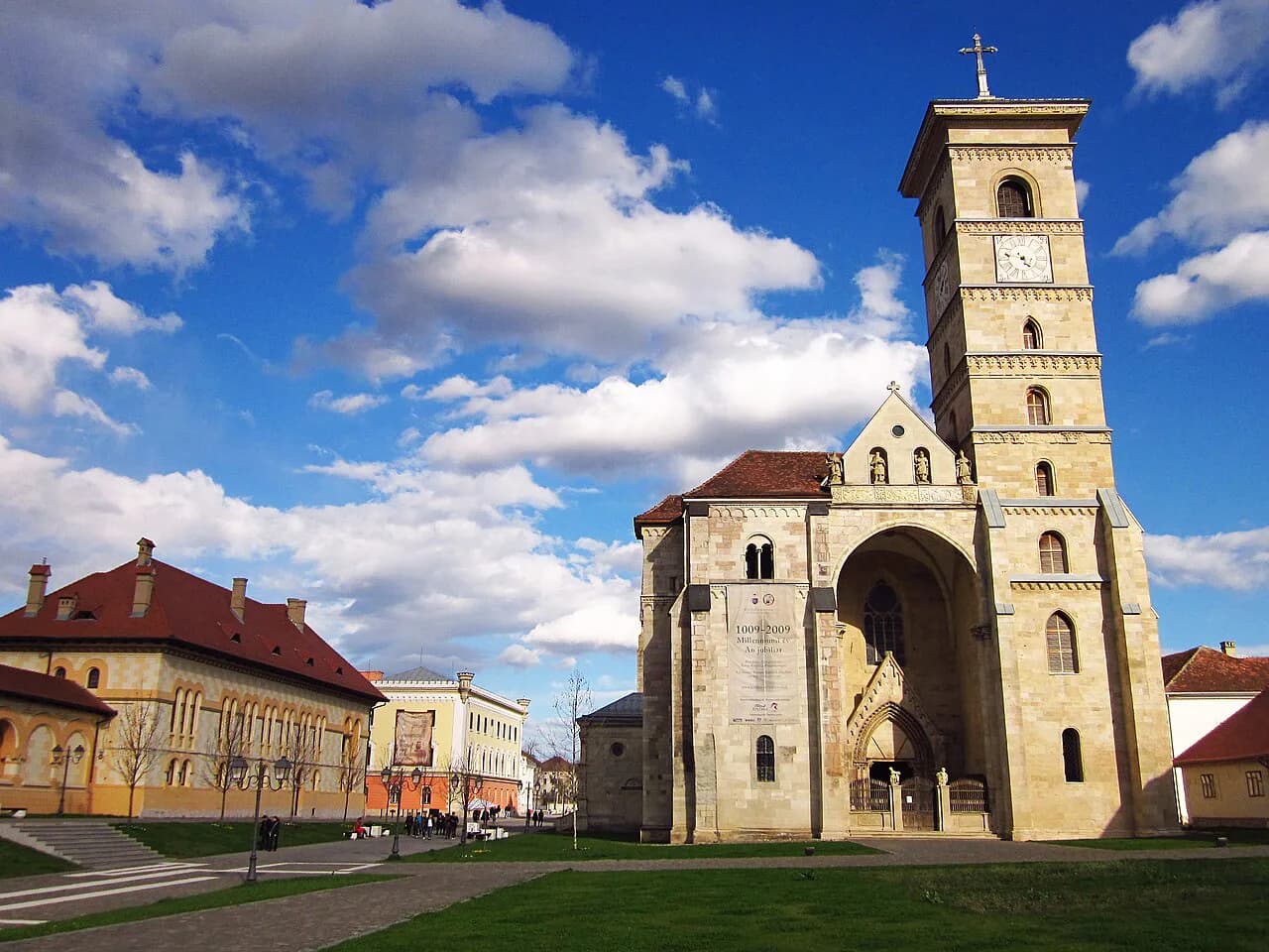
Catedrala Sfântul Mihail, known in English as St Michael's Cathedral, rises at the centre of the star-shaped fortress. Its origins go back to the eleventh century, and the three-aisled basilica you see today is mostly Romanesque and early Gothic, with figure carving on the portals and capitals that echoes churches built in central Europe at the same time.
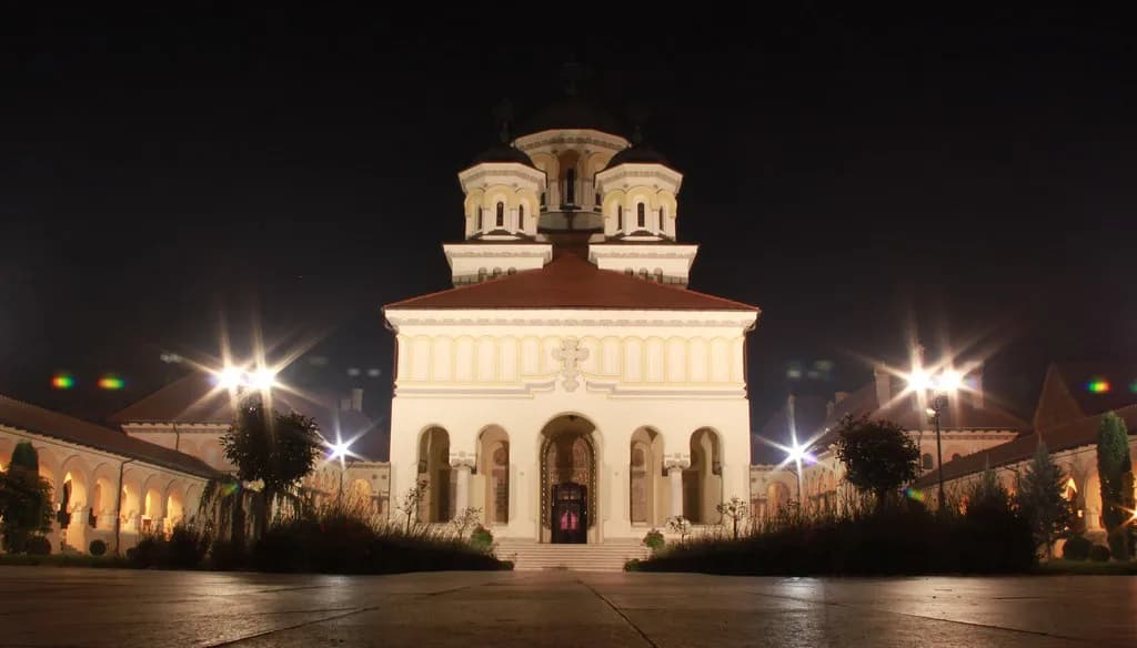
Two cathedrals share this small walled area and are easy to confuse on a phone screen. The Roman Catholic St Michael's is the medieval building at the heart of the citadel; the Orthodox Coronation Cathedral is a separate stop nearby, and the interior of each is worth its own page.
Around the cathedral the map shows lordly palaces and churches set among those quiet lanes. Plot the cathedral first, then treat the surrounding squares as a loop back to your entry gate rather than as separate destinations.
Reading the map: inside the walls and outside them
Mark the fortress outline before anything else and colour-code what falls inside it. The cathedral, the palaces and churches around it and the decorated gates all sit within the star; the everyday streets of the lower town lie beyond the ramparts.
A county-level map is useful for the wider setting, showing Alba County and its road connections around Alba Iulia. It will not resolve gates and lanes inside the fortress, so keep a town-scale plan for that job.
If you are coming from Sibiu or Cluj-Napoca, check your arrival point against the fortress side of town before you book anything. Where you are dropped off changes how much of the lower town you cross on foot, and that is the single most useful thing to fix on the map in advance.
Walking the citadel: gate, cathedral, ramparts
Walking works well inside the walls: once through a gate, the cathedral is a short stroll across the plateau, and the lanes between them are quiet enough to wander. Build in time to stop and read the figures over the portals rather than treating the crossing as pure transit.
Plan the loop in three parts rather than one dash: enter by a decorated gate, head for St Michael's Cathedral at the centre, then work outwards towards the ramparts before returning to the gate you came in by. That order keeps you from crossing the same square twice.
Treat the gates as fixed reference points and note which one is nearest your onward transport before you start. If you want to add the Orthodox Coronation Cathedral to the same walk, place it before you leave the walls rather than after.
Leave the lower town for the end of the day, when you are heading back towards your connection anyway. Distances across it are longer and less interesting on foot than the circuit inside the walls.
Which gate should you aim for?
Aim for the decorated entrance gate closest to where you arrive, then let the cathedral at the centre do the rest of the navigation work. That single choice saves more time than any list of sights.
Check the opening arrangements for the cathedral and the museums inside the fortress directly before you travel, since the map tells you where they are but not when they admit visitors.
Sources
Useful notes for your next trip
Optional updates to our guides.
You might also like
Continue reading
More guides you'll find useful