Cluj-Napoca Map: Getting Your Bearings in the City Centre
A Cluj-Napoca map puts the old centre, the main squares and the close-together sights in order, so you can plan a walkable route before you arrive.
On this page
Use a Cluj-Napoca map to group the sights by area rather than to tick them off alphabetically: the historic core packs into a compact block of squares and streets that you can cover on foot in a single loop. Cluj-Napoca appears in RomaniaTourism's city-map collection alongside Brașov, Sibiu, Oradea, Timișoara and Sighișoara, which makes it a natural stop on a route that links Transylvania's towns. This guide reads the map the way a visitor walks it, then covers arrival from the station and airport, the map formats worth carrying, and what a pin cannot tell you about opening days and tickets.
Where Cluj-Napoca sits on a Romania map and what that means for a city break route
Cluj-Napoca appears in RomaniaTourism's city-map collection alongside Brașov, Sibiu, Oradea, Timișoara and Sighișoara. That line-up is the practical clue: Cluj-Napoca works as one town in a Transylvanian circuit rather than as a standalone detour. If you are building a route, sketch the towns on one sheet first and let the city map come second.
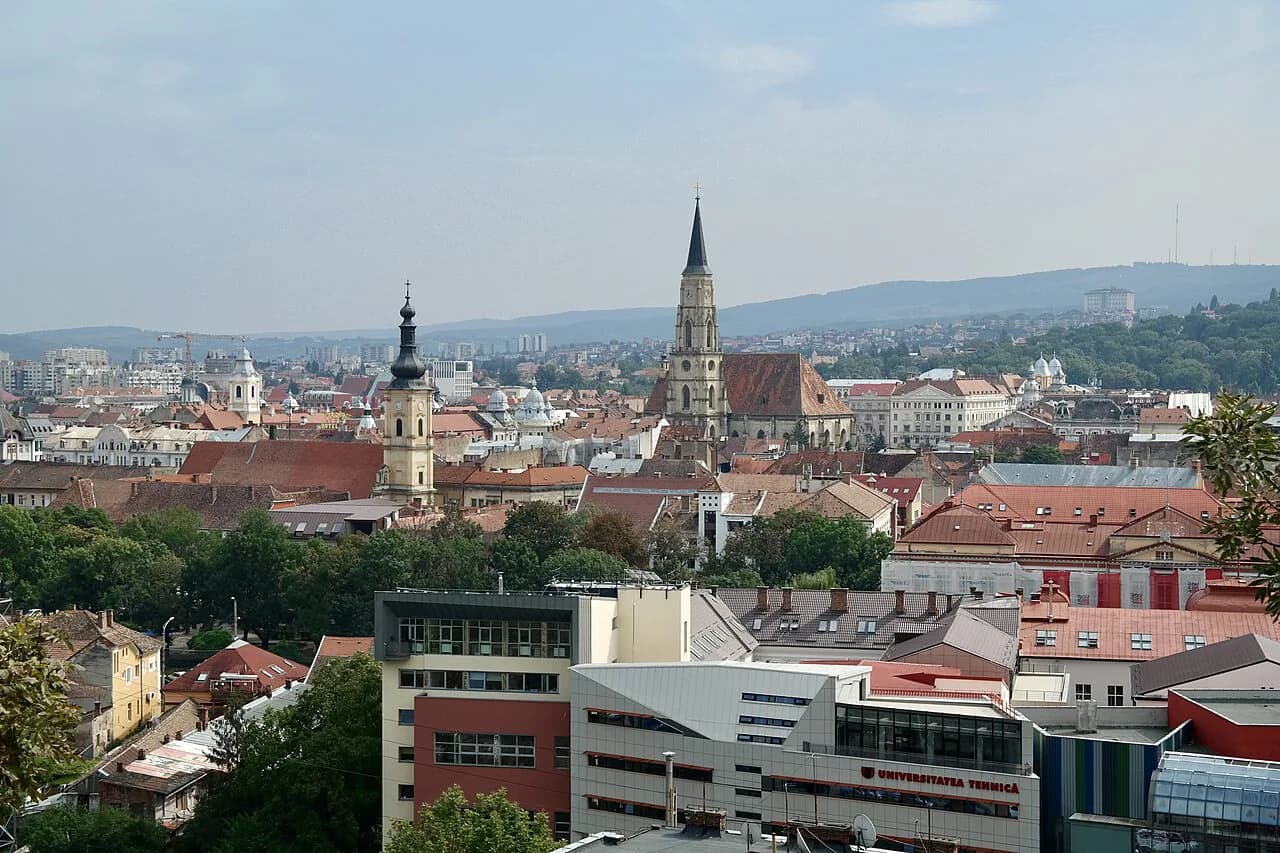
For a short break, the useful mental model is a two-layer city: a dense historic core where the main sights are a walk apart, and a wider ring of stations, malls and main roads that a centre-only map cuts off. Work out how many days you want to give Cluj-Napoca before you fix the walking plan, because the core rewards a slow half-day and the outer sights need their own slots. A quick look at how many days in Cluj-Napoca helps you decide where the map's edge should fall.
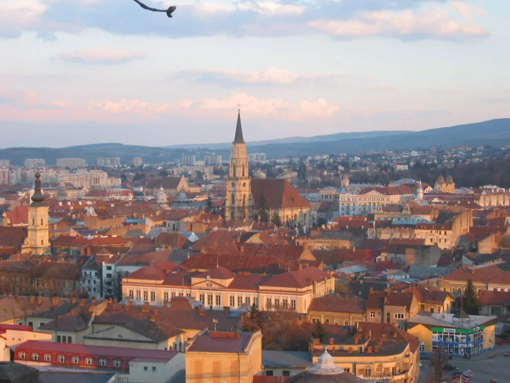
The old centre on the map: which streets and squares cluster together
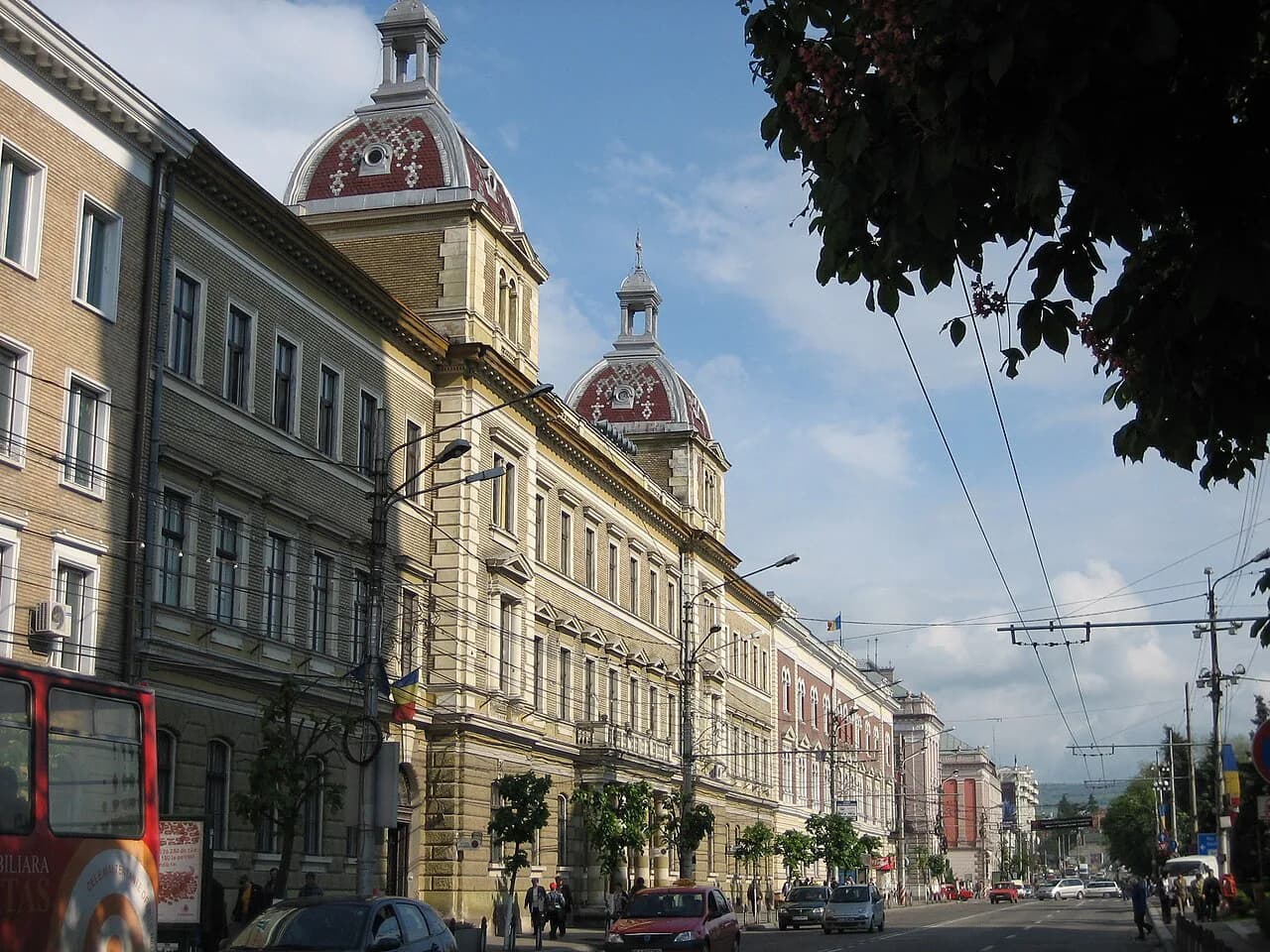
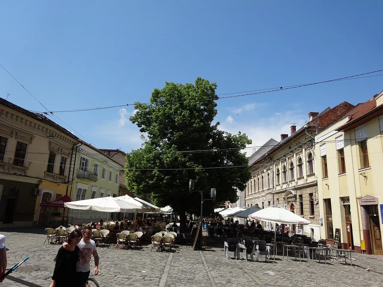
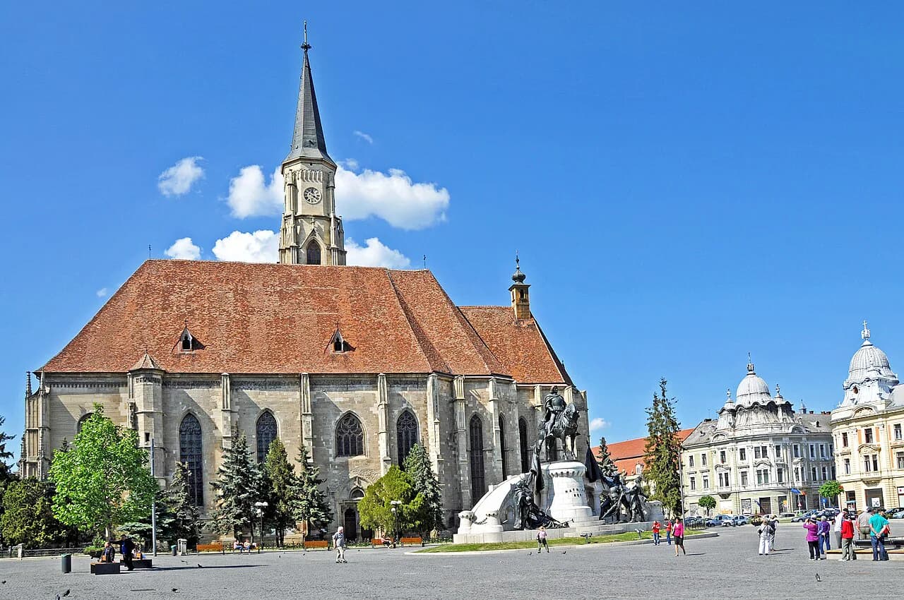
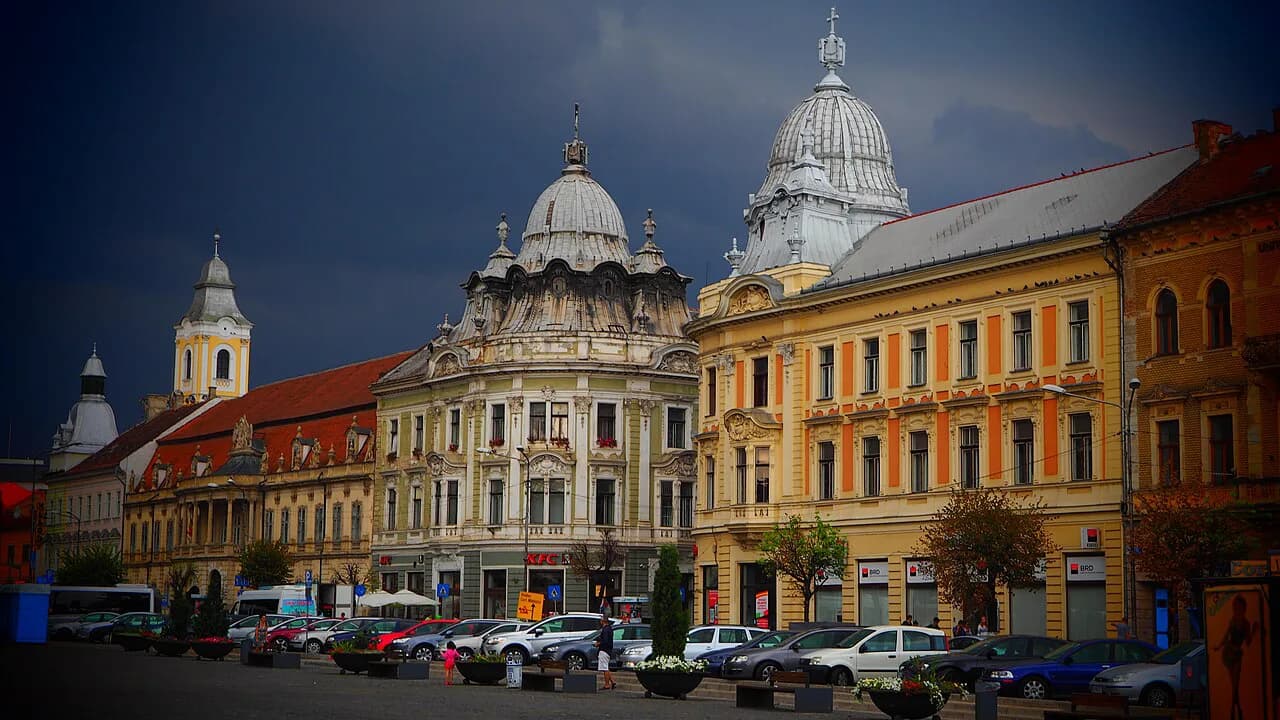
The historic core is where a Cluj-Napoca map earns its keep, and the central squares are the anchor everything else hangs from. Read the surrounding streets as one connected web, so a route that leaves the square in one direction and returns from another covers more than an out-and-back. The Cluj-Napoca Old Town guide names the streets and buildings in that web, which saves you guessing from a pin.
Mark the churches, museums and civic buildings on your copy of the map before you leave, then join the dots into a loop rather than radiating from one square. A Cluj-Napoca architecture guide points out what to look for on the façades, which turns a map pin into something you actually stop for. A printed map with a pencil line drawn on it beats a phone screen you keep re-orienting.
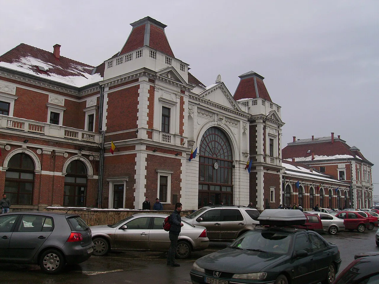
Reading the map by area: what sits within one walk of the centre
Beyond the core, group the map by area and give each its own slot rather than treating it as a scatter of pins, which keeps you from criss-crossing the centre twice. Check the Things to Do in Cluj-Napoca list against your drawn areas and cut anything that sits off your line.
The streets around the central squares are dense enough that a short walk covers several buildings worth looking up at, so give the area one unhurried pass rather than a dash. For the museum stops, the museums in Cluj-Napoca list lines up the collections with their locations.
If you only have one day, draw the smallest viable loop from the map: the old centre first, then the surrounding streets in whichever order your map makes linear. A one day in Cluj-Napoca plan does that sequencing for you, so the map becomes a check rather than a puzzle. The wider Cluj-Napoca Attractions: 13 Visitor Guides hub is the place to look when a single area needs its own page.
Routes between the areas: how the sights connect on foot
Plot your walking routes between the areas on the map before you set out, then decide which leg you will do on foot and which you will skip. A Cluj-Napoca walking tour gives you a ready-made order for the core and its edges, which you can trace onto your own map and adapt.
Use the map to batch each museum visit with its nearest square, so you are not crossing the centre between collections.
Getting in from the station and airport, and where the city map ends
A centre-only map runs out at the station and the airport, so mark both on the wider map before you plan the first walking loop. The practical trade-off is between a tram or bus into the centre and a taxi, and you decide that on arrival using the local transport information rather than relying on a pin.
Once you are in the centre, use your map to fix one known landmark near your base and navigate back to it after each detour, rather than retracing a whole route. That keeps arrival orientation simple and stops the historic core turning into a maze on the first evening. The Cluj-Napoca history page explains what you are looking at as you pass the older buildings.
Map formats worth carrying: printed, offline and phone
Carry two formats on a short break: a phone map for live position and a printed or offline copy for the moments when the screen is awkward. RomaniaTourism's Cluj-Napoca city map page gives you a city map to work from, while Apple Maps gives you the live view with driving directions, images and nearby places. The trade-off is battery and signal against the tactile certainty of paper: paper never needs a charge, but it cannot reroute you.
Download an offline copy of the city area before you travel, mark your base, the station and the three area anchors from your plan, and keep the rest of the map uncluttered. Print the old-centre block at a readable size; on a phone, the core streets compress into a knot.
If your trip runs to a fixed number of days, sketch a loose Cluj-Napoca itinerary on the map so each day starts in a different area and finishes near a square with somewhere to sit. That is the point at which the map stops being a picture and starts doing work.
What a map will not tell you: opening days, tickets and guided visits
A pin tells you where a museum or church is, not whether it is open, what a ticket costs or whether entry is by guided visit only. Treat the map as a route plan and the venue's own information as the gate: check the day and hour directly, and confirm the ticket price in lei on arrival or in advance.
Group the places with fixed opening windows into one slot per day on the map, and keep the streets, squares and viewpoints as flexible filler between them. That way a closure or a timed-entry booking costs you a little detour rather than the day.
Draw your loop before you arrive
The useful move with a Cluj-Napoca map is to draw a loop before you leave home: Piața Unirii and the old lanes as the first block, the museum quarter and Avram Iancu Square on the same line, and the station or airport marked at the edge. Keep the map as a route plan and check opening days and tickets with each venue directly.
Explore more Cluj-Napoca guides
Frequently Asked Questions
Which country is Cluj-Napoca in?
Cluj-Napoca is in Romania, in the Transylvania region. RomaniaTourism lists it among its mapped Romanian cities alongside Brașov, Sibiu, Oradea, Timișoara and Sighișoara, which is why it fits naturally into a Transylvanian town circuit rather than a Bucharest-based trip.
Do I need a paper map if I have a phone?
Carry both. A phone map gives live position and reroutes you, but the historic core compresses into a knot on a small screen and the battery runs down over a long day of walking. A printed copy of the old-centre block, with your base and the main squares marked, keeps the street layout legible.
Can I see the main sights on foot from the centre?
Yes, the historic core packs into a compact block of squares and streets, so a single loop on foot covers the old centre, its museums and the streets around them. Group what you want to see by area on the map first, then walk one area at a time rather than crossing the centre repeatedly.
Sources
Useful notes for your next trip
Optional updates to our guides.
You might also like
Continue reading
More guides you'll find useful