Transalpina: Driving Romania's Highest Mountain Road
The Transalpina climbs to the Urdele Pass at 2,145 m between Săliște and Novaci. Here is how the route works and why the weather decides your drive.
On this page
The Transalpina is a high mountain road across the Parâng Mountains in the southern Carpathians, running between Săliște in Sibiu county and Novaci in Gorj county. Its high point is the Urdele Pass at 2,145 m, higher than the Transfăgărășan's summit, and the drive is as much about weather judgement as distance. This guide sets out the route end to end, the villages where you can break the journey, how the road compares with its better-known neighbour and what to check before setting off.
What the Transalpina is and where it runs
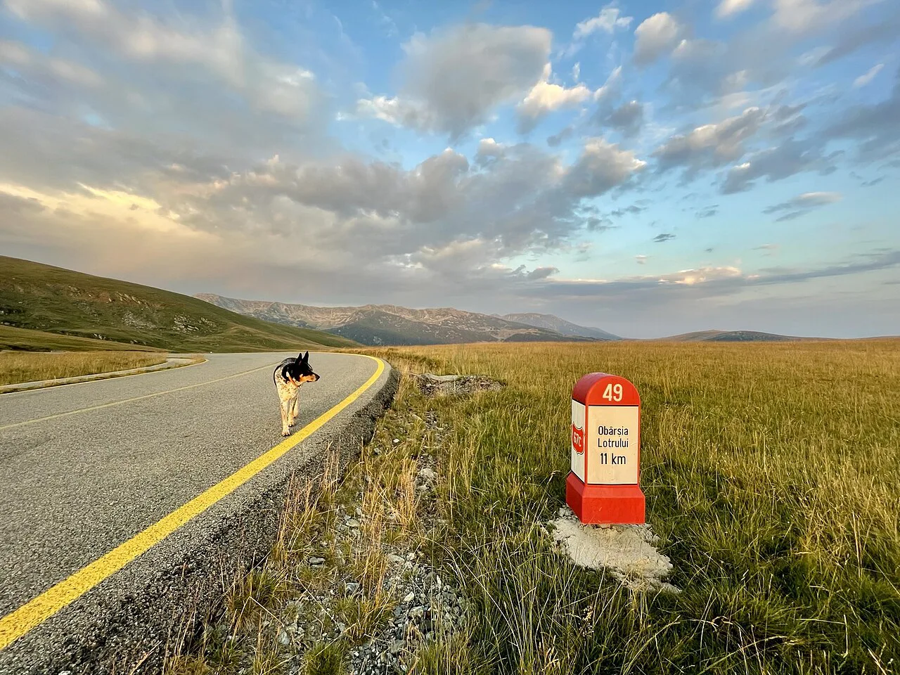
The Transalpina carries the national road number DN67C and crosses the Parâng Mountains, linking the Sibiu county town of Săliște with Novaci in Gorj County. Its name comes from Latin and means 'the country beyond the mountains', and Romanians also call it the King's Road because it was built under King Charles II in 1935.
Do not confuse the Transalpina with the Transfăgărășan, which crosses the Făgăraș Mountains further east on the DN7C between Cârțișoara and Căpățâneni. The two roads are often mentioned in the same breath, but they serve different mountain ranges, start from different towns and have different characters. If your trip is built around the other road and its lake, read the separate Transfăgărășan guide before deciding which one to drive.
The northern end is in Sibiu county and the southern end is in Gorj County, so the drive takes you across a whole mountain range rather than around one peak. Plan on a full day if you want to drive the length of it and stop.
The route: Săliște to Novaci and the towns at each end
Săliște sits in the rolling country south of Sibiu and is the natural starting point if you are coming from the city. From here the road climbs through pastoral villages before the serious ascent begins, so the first stretch is gentle and gives you time to settle into the drive. Fill up with fuel before you leave the Sibiu area, because services thin out quickly once you are above the villages.
Novaci, at the southern end in Gorj County, is the other anchor. Arriving from the south means a sustained ascent to the pass, which is worth doing early in the day while the light is clear and the road quiet. Whichever end you start from, the drive is long enough that turning back halfway is a real decision, not an afterthought.
Because the road runs town to town rather than point to point, you can treat either end as a base and drive an out-and-back rather than the full traverse. That suits travellers based in Sibiu who want the high pass without committing to a one-way journey into Gorj. Allow a full day for the round trip with stops, and keep the evening free in case slow traffic or weather delays you.
The Urdele Pass and what the altitude means for a drive
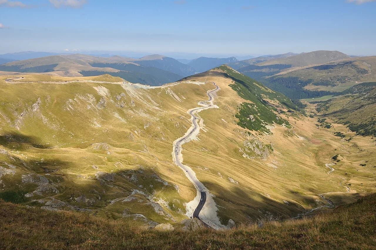
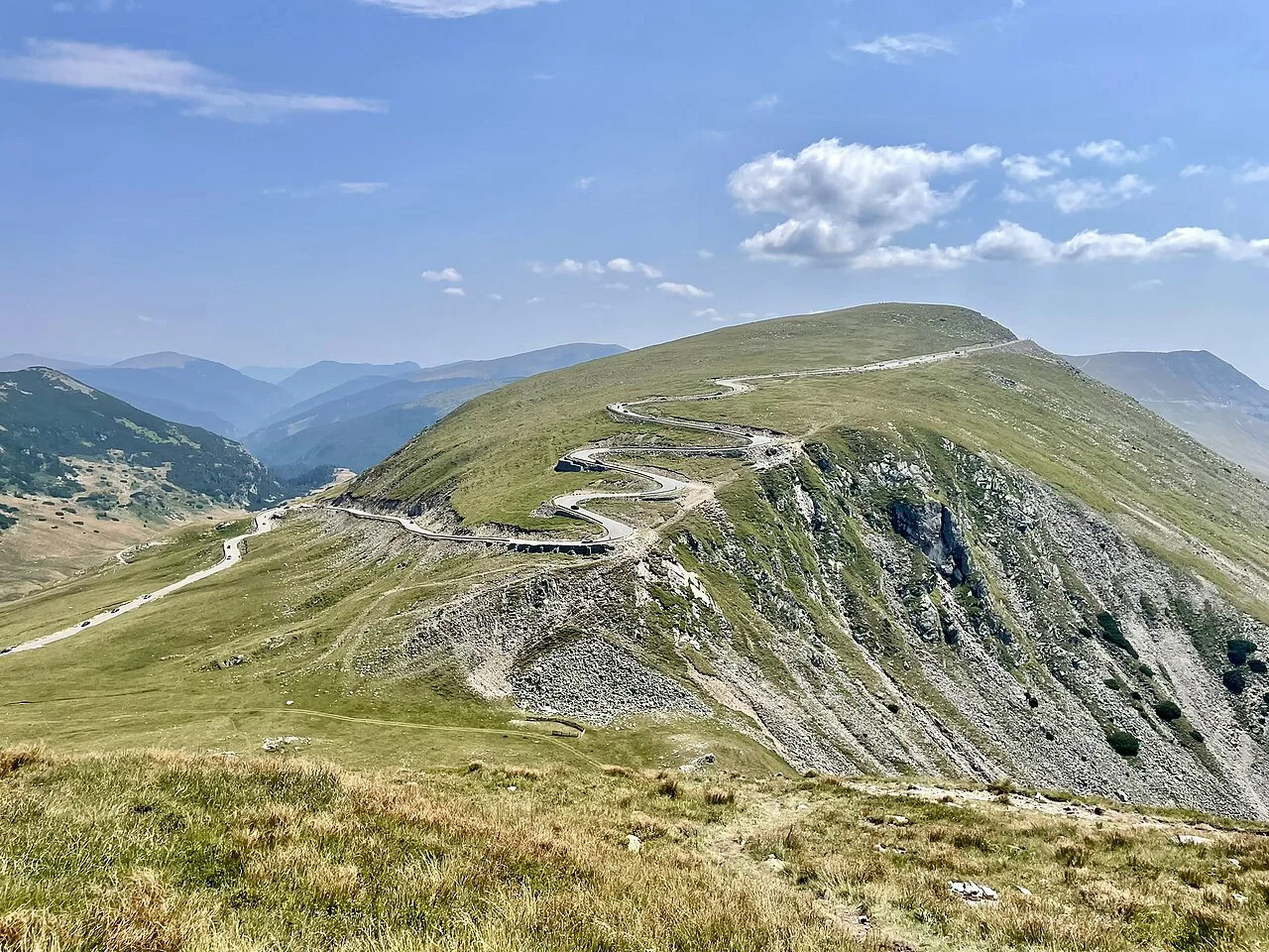
The road's highest point is the Urdele Pass at 2,145 m, which puts it above the Transfăgărășan's maximum altitude at the glacial lake. At that height the air is cooler, the views open out across the Parâng ridge and the road feels exposed when the cloud comes down. The pass is the reason to drive the Transalpina, but it is also the part where conditions change fastest.
Altitude changes how the car behaves as well as how you feel. A steady, lower gear on the climbs and descents is kinder than riding the brakes, and it leaves you less exposed if you meet a slow lorry or a flock of sheep on a blind bend. Take the pass at your own pace and pull over only where there is proper room, because the verge drops away sharply in places.
Why the weather is the deciding factor, even in summer
Because of the altitude, the weather on the Transalpina can be very unstable and unpredictable even in summer. Snow is possible in September and even in April, so the road you drive in the morning may not be the road you drive back in the afternoon. That is the central planning point: distance and corners you can judge in advance, but the weather you cannot.
In practice this means building slack into your day and being willing to turn around at the pass rather than push on into cloud. A forecast checked the evening before and again on the morning of the drive is more useful than a plan made weeks earlier. If the cloud is sitting on the ridge, the villages lower down are a better use of the day than a white-out at 2,000 m.
When the road is driveable and when it closes for snow
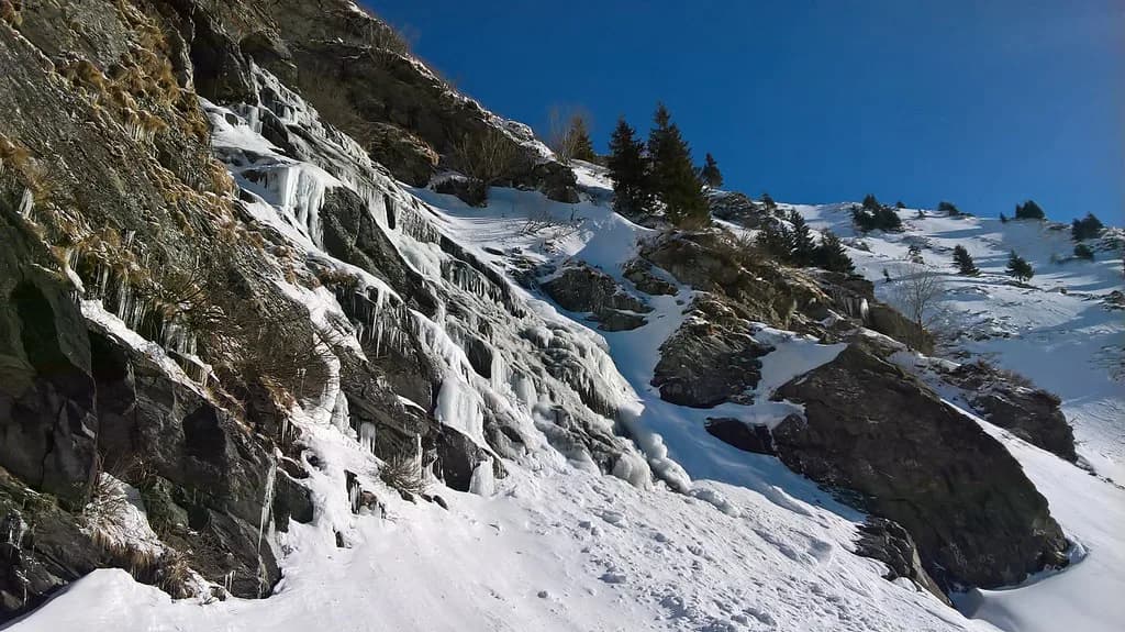
In wintertime the Transalpina is closed because of the high layer of snow that settles on the pass. The closure is a seasonal pattern rather than a fixed calendar date, and it can shift with the snowfall in a given year. Do not assume a particular month is safe just because it worked in a previous season.
Travellers often ask in spring whether parts of the road can be driven before the full route opens, which reflects how variable the opening really is. Treat any opening date you hear about as provisional until it is confirmed locally, and check the road's status with the authorities or a local rental company close to your travel date.
Villages along the way: Săliște, Tilișca, Rod, Poiana Sibiului and Jina
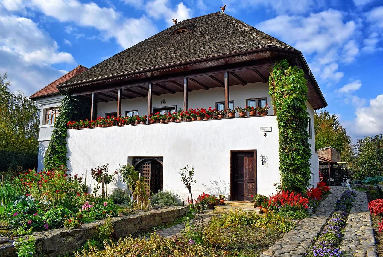
The northern approach passes through a string of pastoral villages in the mountains: Tilișca, Rod, Poiana Sibiului and Jina, with the picturesque town of Săliște as the main starting point. These are working sheep-farming settlements rather than visitor attractions, and they are the best reason to take the Transalpina slowly. Breaking the drive in one or two of them turns a road trip into a day out.
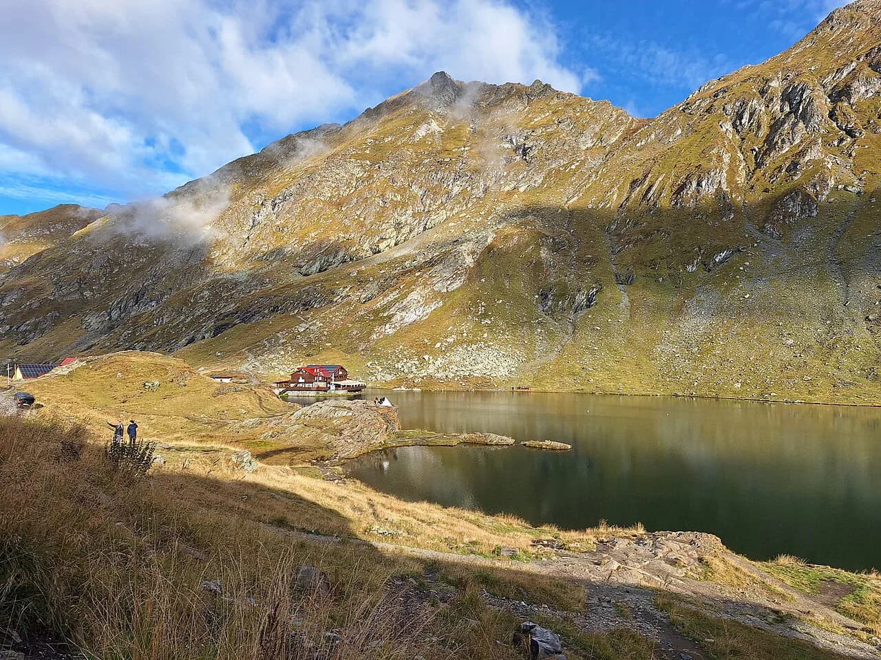
If you are driving the Transfăgărășan instead, the equivalent pause is at Bâlea Lake, where the road meets the glacial lake and the cable car. That page covers the lake, its setting and what there is at the top.
Transalpina compared with the Transfăgărășan: altitude, distance and corners
On altitude the Transalpina wins: the Urdele Pass at 2,145 m sits above the Transfăgărășan's high point. On length the comparison runs the other way, since the Transalpina is the longer road in distance. If you want the higher pass, choose the Transalpina; if you want a tighter mountain drive with a famous lake at the top, choose the other road.
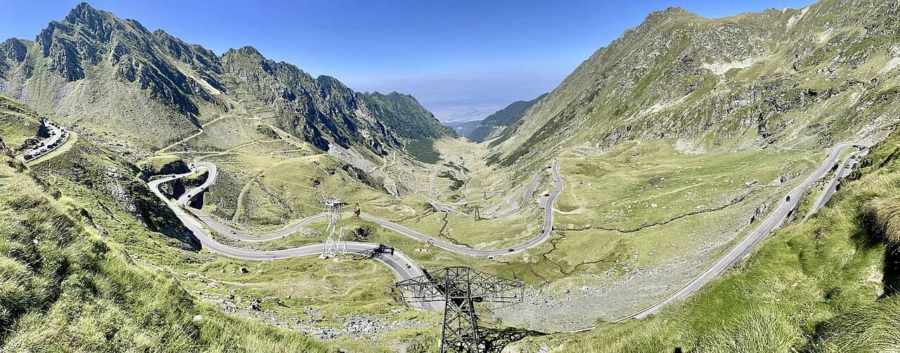
The corners differ too. The Transalpina is described as fascinating, longer in distance and with softer corners than the Transfăgărășan, which makes it the gentler drive of the two for a passenger-prone car. The Transfăgărășan is the one with the string of great corners and the dramatic reputation, and it carries the association with the television coverage that made it famous.
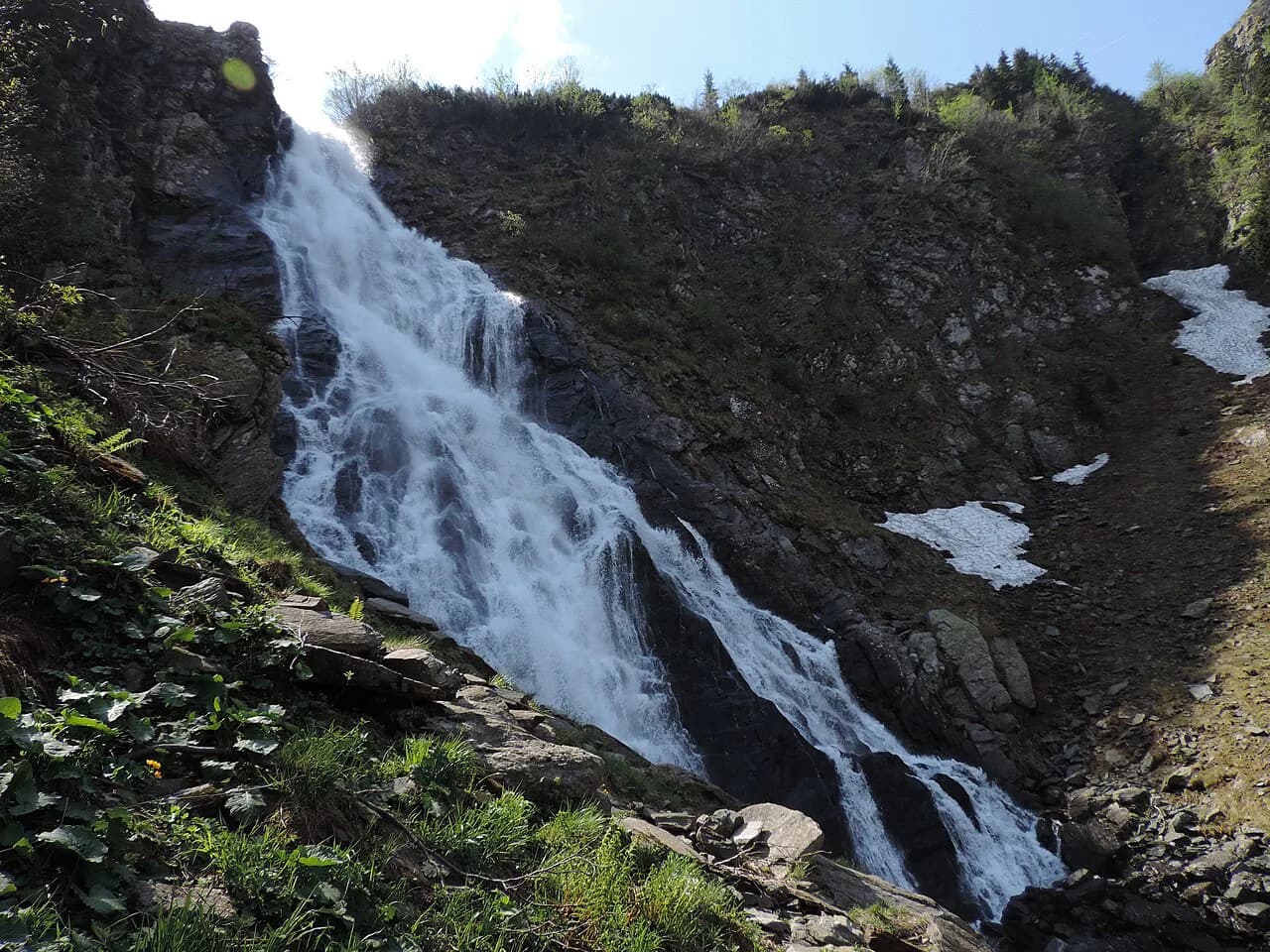
The Transfăgărășan crosses the Făgăraș Mountains and runs about 180 km from Cârțișoara to Căpățâneni, which is a bigger commitment in distance than most people expect from a scenic road. Its northern side stays driveable to the Bâlea Waterfall in winter while the full traverse waits for the summer window.
Driving practicalities: weather forecast, tyres and preparation
The most useful preparation is unglamorous: check the weather forecast and the tyres before your trip. That advice comes from the road's own conditions, where a summer day can turn cold and wet without much warning. Tyres with decent tread matter more here than on a lowland road, and a jacket within reach in the cabin is worth the space.
Give yourself a realistic start. Leaving Sibiu or Novaci early gives you the best chance of clear views at the pass and a buffer if the weather closes in. Carry water and food, because the villages are small and you should not count on finding an open shop at the moment you need one.
If your trip is really about the other road, the Transfăgărășan opening dates page explains when that route is typically driveable.
Which high road should you drive?
Drive the Transalpina if you want the higher pass, the pastoral villages on the Sibiu side and a road with softer corners. Its weak point is the weather: the pass can turn wintry from one month to the next, and the winter closure is a matter of snow depth rather than a fixed diary date. Choose the Transfăgărășan instead if you want the tighter, more famous drive with the lake at the top.
Whichever you pick, treat the forecast as part of the route and keep a turning-back option open. Confirm the road's status close to your travel date, and plan for a full day rather than an afternoon.
Explore more Transfagarasan guides
Sources
Useful notes for your next trip
Optional updates to our guides.
You might also like
Continue reading
More guides you'll find useful