Bucharest Map: Sights, Districts and Layout for Visitors
A visitor's guide to the Bucharest map: where the old centre and main sights sit, how addresses are divided and what the mapped scale means for walking.
On this page
Bucharest rewards a map-first approach: the historic core around Lipscani is compact enough to cross on foot, but the city around it is far too big to walk end to end. Treat the centre as one walking zone and the rest as metro-and-taxi territory, and the map stops being intimidating. This guide covers the city's scale, how addresses are divided, the old centre, the walking routes that work, and the mapping tools that make the rest manageable. Our broader guide to things to do in Bucharest picks up where the map leaves off.
One warning before you start: a search for Bucharest maps will surface plenty of images, but you only need two or three reliable ones. Start with the city's scale and street pattern, then layer on the metro and the old centre, and ignore the rest.
What the Bucharest map shows at a glance
Bucharest is Romania's capital and largest city, and its mapped street network runs to 4,882 km of roads and paths. Walking all of that at four kilometres an hour, eight hours a day, would take 153 days, which tells you immediately that the map is for choosing routes, not covering ground. The mapped city area is 239 square kilometres.
The same mapping coverage records 9 square kilometres of public green space and parks, or 3.8 per cent of the city's area, which works out at about 4.8 square metres for each of Bucharest's 1,883,425 residents. Judge scale from these figures before you promise yourself a walking day, and note how much of the total area falls outside the compact centre.
The same coverage counts 1,052 bus, tram, subway and railway stops across the city, so almost any address you book will have public transport nearby. It also locates more than 495 sights and monuments, a useful reminder that visitor sites are spread well beyond the historic core.
How Bucharest addresses are divided
Bucharest addresses usually finish with a sector number, and that number is the first thing to check on the map. Note the sector alongside the street and building number when you book, then find the exact point before you set out.
A map that shows sector boundaries is more useful for finding an address than one that shows only street names, which is why the sector is worth carrying in your notes as well as on your phone.
The old centre and Lipscani on the map
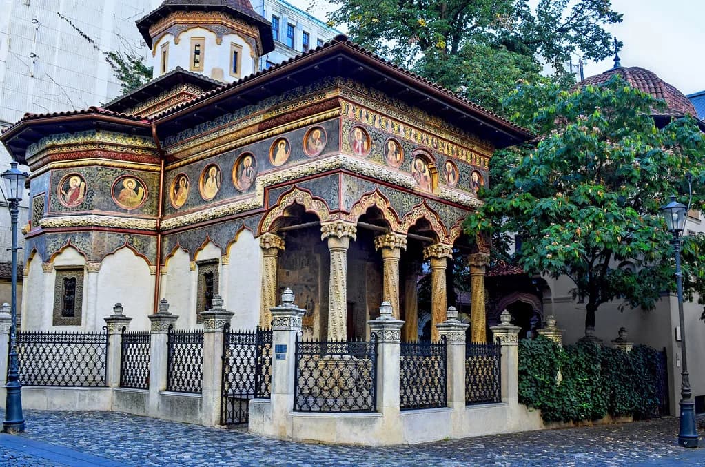
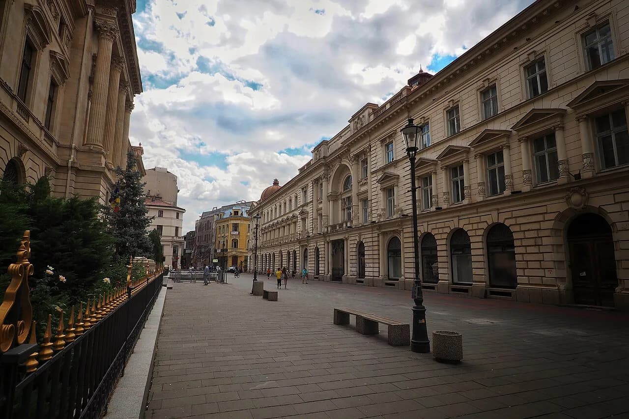
The historic core is focused on Lipscani and the streets around it, and this is the part of Bucharest where the map works at street level: you can trace a route from one square to the next without needing transport. Our guide to the Bucharest old town walks through the individual streets and squares in detail.
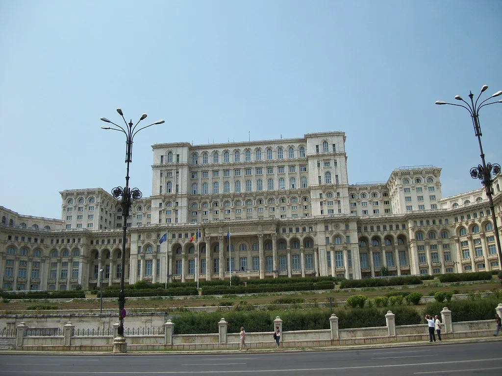
Major sights such as the Palace of the Parliament sit outside that compact core, so check the distance on the map before deciding to walk. Plan each one as a proper leg of the day rather than a stroll between neighbouring streets.
The area around the old centre also holds the cathedral and the main museum cluster, which is why a single day in the centre can cover a lot of ground. Pair a morning in the streets around Strada Smârdan with an afternoon at the museums to avoid criss-crossing the map.
Landmarks that are not in Bucharest
Romania map searches mix up names from different cities, so check the city label before you follow a pin. Squares and churches that belong to other Romanian towns will otherwise pull you onto the wrong map entirely.
Keep one Bucharest map for the capital and separate the country map from it, so a place name shared across Romania does not send you to the wrong city.
Bucharest in the wider Romania map
On a map of Europe, Bucharest sits in the south-east of Romania, and the country map is the right tool for planning arrival and onward travel rather than city routing.
Use the country map to plan how you reach Bucharest, then switch to a city map for everything inside it. Trying to do both on one image is why so many travel maps end up unreadable.
Walking between the central sights
The city map makes the old centre look deceptively small. In practice, walking from Lipscani to sights outside the core, or from the museums up to the northern parks, covers real distance, so build in a rest stop and keep an eye on the map for the return.
If you want the layout explained on the ground, a Bucharest walking tour does exactly that job, covering the centre on foot and showing how the squares connect. For a multi-day plan, the 3 days in Bucharest itinerary groups the sights so you are not crossing the map twice.
Bus, tram and metro stops on the map
With 1,052 stops across buses, trams, the subway and the railways, mapped transport coverage is dense, so you rarely need to walk far to reach a line, even from sights outside the centre.
The practical approach is to open the map, find the nearest stop to your sight, and take one connection rather than walking in a straight line across the city. Sights beyond the core are where this saves the most time.
Bucharest tourist map: print versus screen
A printed map is worth carrying for the old centre, where street names are short and easily missed on a small screen. Look for one that marks Lipscani and the main squares, and check that the edition is current before you rely on it.
For everything else, a screen map wins: live positioning beats a fold-out when you are finding an address in a sector you do not know. Keep the printed sheet for the centre as a backup.
Using Google Maps and directions in Bucharest
Directions in Bucharest work best when you enter the full address with the sector number, not just the street name. The mapped street network is dense enough that a partial address can land you several kilometres from where you meant to be.
Check the route before you walk it: some central crossings are laid out for traffic rather than pedestrians. A satellite view settles the question faster than a street map, particularly around the wide boulevards.
Should you walk or take the metro?
Walk the old centre and take the metro between the centre and everything beyond it. That split matches the map: the historic core is compact and detailed, while the rest of the 239 square kilometres is too spread out for a walking day.
Before you go, note the sector for any address you book and pick your route between Lipscani, the museums and the sights outside the core in advance. A few minutes with the map at the planning stage removes most of the confusion on arrival.
Explore more Bucharest guides
- Bucharest Cathedral
- Bucharest City Break
- Bucharest Day Tours
- Bucharest Landmarks
- Bucharest Opera
- Bucharest Palaces
- Bucharest Parks Worth Building a Day Around
- Calea Victoriei
- Castles near Bucharest
- Cărturești Carusel
- Little Paris, Bucharest
- Mogoșoaia Palace
- Museum of the Romanian Peasant
- Old Princely Court (Curtea Veche), Bucharest
- People's Salvation Cathedral in Bucharest
Sources
Useful notes for your next trip
Optional updates to our guides.
You might also like
Continue reading
More guides you'll find useful