Mountains in Romania: Carpathian Ranges, Peaks and How to Reach Them
Romania's mountains are the Carpathians: Făgăraș, Bucegi, Retezat, Piatra Craiului and Apuseni, with Moldoveanu the highest peak at 2,544 m.
On this page
Romania's mountains are the Carpathians, a range that forms a vast arc across Central and Eastern Europe and puts more than half its length inside Romania. The highest ground is in the Southern Carpathians, also called the Transylvanian Alps, where Moldoveanu reaches 2,544 m. This guide sorts the main ranges by character and by how you reach them from a city base, so you can match a mountain to a town-and-castle trip rather than treating the Carpathians as one undifferentiated place.
Two things shape every plan here: distance and steepness. The Făgăraș ridge is remote even by European standards, while the Bucegi rise directly above the road north from Bucharest to Brașov, so the effort involved differs enormously between ranges that look close together on a map.
The Romanian Carpathians at a glance
The Carpathians run some 1,500 km across eight countries, from Austria and the Czech Republic to Romania and Serbia, and over half of that arc falls within Romania. Inside the country the range splits into the Western Romanian Carpathians, the curving Eastern Carpathians and the high Southern Carpathians. That division matters practically: the south holds the big summits, the west holds caves and gentler country, and the east holds massifs such as Ceahlău.
Read the ranges through the wider Carpathian Mountains picture and the pattern is clear. The Făgăraș is the range for serious high ground, the Bucegi is the accessible one, the Apuseni is the range for caves and traditional villages, and Piatra Craiului is limestone walking. Retezat adds glacial lakes and wilderness, while Parâng and Ceahlău sit off the busiest circuits.
Several of these areas are protected, and the wider picture is set out in the guide to Romania national parks. Wildlife is part of what makes the mountains distinct: the Romanian Carpathians hold Europe's largest populations of brown bears, wolves and lynx within largely unfragmented forest, a different proposition from a long-settled Alpine valley. If that side interests you, start with the material on wolves Romania before you plan where to walk.
Făgăraș: the longest and highest range
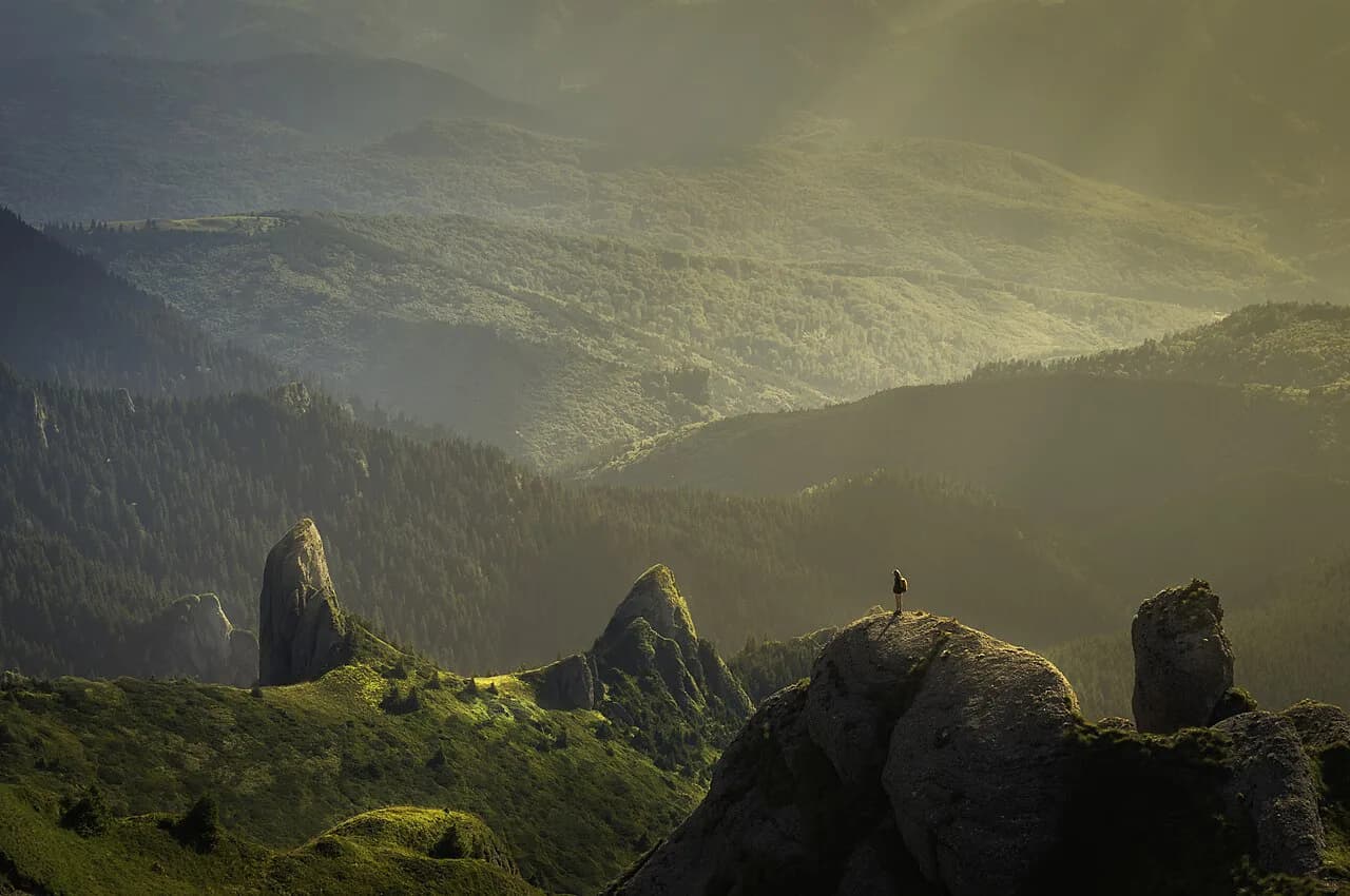
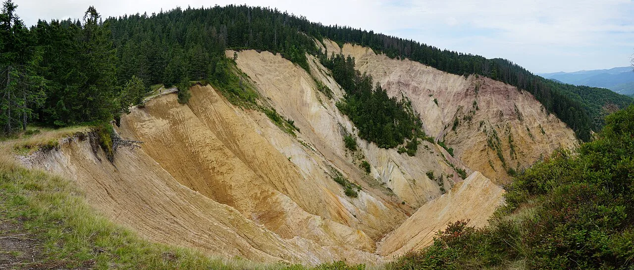
The Făgăraș Mountains are Romania's longest and highest range, a chain running roughly 70 km east to west with 392 named peaks. Moldoveanu, at 2,544 m, is the highest point in the country, and the other big summits sit close by: Negoiu, Viștea Mare and Lespezi all fall within about 10 km of each other.
Where is Transylvania? Transylvania is the plateau region enclosed by the Eastern and Southern Carpathians and the Apuseni Mountains, in the centre and north-west of Romania. Brașov and Sibiu are its best-known city bases for the mountains, and the Făgăraș range marks its southern edge.
What does the word 'Carpathian' mean? The name refers to the mountain arc itself, which runs across Central and Eastern Europe from Austria and the Czech Republic to Romania and Serbia. It is not a Romanian word for a single peak, and the range is divided into Western, Eastern and Southern sections.
What is the prettiest place in Romania? That depends on what you want from a view. The Bucegi's rock formations and the Făgăraș ridge above Bâlea Lake are the classic mountain answers, while the Apuseni's caves and villages suit travellers who prefer lower ground and settlements to high summits.
The two flanks are not symmetrical, and this is the key decision for a day out. The northern slope is very steep, climbing about 2,000 m in only 14 km, which makes approaches from Transylvania short in distance and punishing in effort. The southern side is more gradual, falling away through long canyons and foothills towards Wallachia.
Ridge walking links the main summits along one continuous spine, and the going involves scrambling and talus between peaks, with exposure to weather and fall risk. Treat a ridge day as a serious undertaking rather than an extension of a valley walk.
Bucegi: the massif above the Bucharest to Brașov road
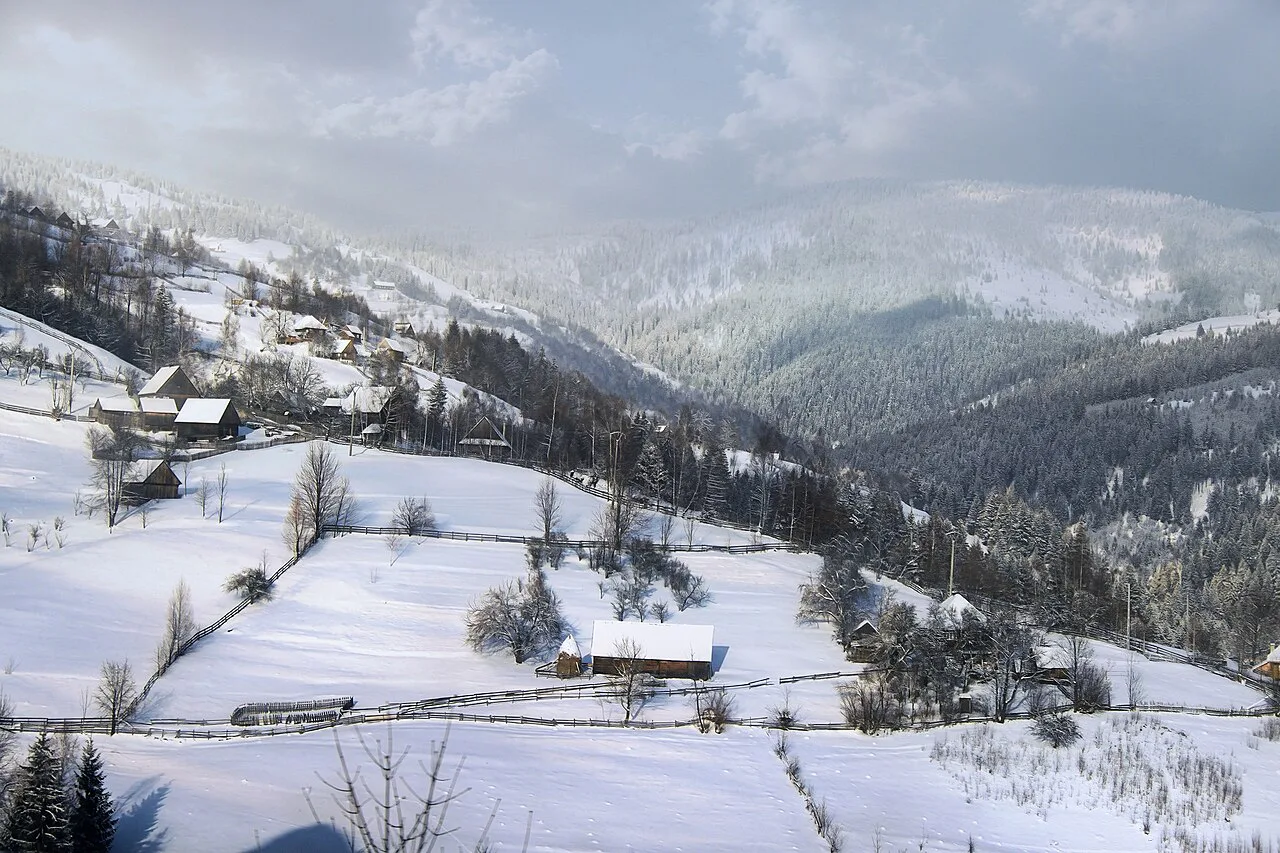
Drive north from Bucharest towards Brașov and the forested slopes that rise to meet you are the Bucegi, part of the Southern Carpathians. That position makes it the most straightforward massif to fold into a town-based trip, because the Prahova Valley road runs along its eastern side and Brașov sits at its northern end.
The Bucegi's draw is its rock scenery, above all the Sphinx and Babele, two formations that give the plateau its distinctive look and pull crowds onto the same paths. Go early, expect company on the popular routes and give yourself room to walk away from the busiest points.
Higher up, the Heroes' Cross on Caraiman Peak stands at 2,291 m, a monument built between 1926 and 1928 and one of the landmarks visible on the Bucegi skyline. Seeing it from below and reaching it are different propositions, so check the route and the weather before committing.
Piatra Craiului: a limestone ridge
The limestone changes what a day out feels like: sharp rock underfoot, white scree and a narrow crest rather than broad grassy shoulders. Piatra Craiului National Park sits close enough to Brașov to work as a day from the city, which makes it a sensible choice if you want a proper mountain day without the remoteness of the Făgăraș.
The test here is footing rather than altitude. The ridge is the reason people come and the reason it should not be treated casually, and the valleys below give you a gentler alternative when conditions are poor. If you want the massif in more detail, including the approach settlements, the dedicated park guide covers it.
Retezat: glacial lakes and wilderness
Retezat National Park is the range to choose for water and solitude. Its glacial lakes sit in high basins, and the massif has a wilder, less developed feel than the Bucegi, which is precisely why people rate it. The trade-off is that a worthwhile visit takes more time and more self-sufficiency than a half-day from a city.
Retezat is one of the great wilderness ranges of the Southern Carpathians, so it pairs naturally with an itinerary through the west of the country rather than with a quick Brașov break. If you are weighing several ranges with lakes and marked routes, the overview of lakes in Romania helps you see what each one offers before you commit.
Apuseni: caves and traditional villages
The Apuseni Mountains in the west are rolling hills, deep gorges and extensive cave systems rather than alpine summits, and they come with traditional villages that have largely vanished elsewhere in Europe. This is the range to pick if you want scenery at a lower altitude, with settlements and cave visits in the same day.
Two caves anchor most visits: Scărișoara Ice Cave and Bears' Cave. Both are underground sites rather than mountain summits, so treat them as their own outing and check access and visiting arrangements locally before you build a day around them. The guide to caves in Romania covers both.
Some of Romania's best-known mountain water sits in this part of the country too. Ochiul Beiului, a small lake fed by the Beu stream near the Beușnița waterfall, is a short walk rather than a climb and works well as a low-effort addition.
Parâng and Ceahlău: the quieter ranges
Parâng is the range for people who want high ground without the Făgăraș crowds, and it sits off the main circuits. Ceahlău, in the Eastern Carpathians, is a massif with its own national park, which anchors a different kind of trip.
The Ceahlău area chains neatly with the road through the Bicaz gorge, and the massif and gorge are best planned together as one block of days. If you are building a loop through this corner of the Eastern Carpathians, start with the dedicated guide before booking anything.
Lakes and gorges give this corner of the Eastern Carpathians its character, and Red Lake (Lacul Roșu) is the obvious place to break a drive. Waterfalls and short walks are scattered through the same valleys, so a day here can be as gentle or as long as you make it.
The Transfăgărășan: the road into the Făgăraș
The Transfăgărășan is the road that opens up the centre of the Făgăraș range, cutting straight through the mountains and giving access to the high country around Bâlea Lake. Driving it puts you at altitude fast, which is why it changes what a day in the Făgăraș can look like.
The practical point is that the road shortcuts days of approach walking. It is a way of getting to the range's centre rather than a destination in itself, so plan around what you want to do once you are up there. Whether the road is passable on your dates is a live question, and the answer comes from the road authority rather than a travel page.
Which ranges work without a car
Brașov, Sibiu and Cluj-Napoca are the three city bases that make the mountains practical. Brașov puts the Bucegi and Piatra Craiului within a day, Sibiu faces the northern flank of the Făgăraș, and Cluj-Napoca is the natural base for the Apuseni. Both Brașov and Sibiu have international airports and major train stations, so you can arrive without a car and still reach mountain country.
Without a car, the realistic pattern is a train or bus to a trailhead town and a walk from there, which suits the Bucegi and Piatra Craiului far better than the remoter Făgăraș. For the Apuseni, base yourself in Cluj-Napoca and use the cave and village pages to work out what is reachable.
Mountain huts on the Făgăraș ridge
The Făgăraș ridge is dotted with mountain huts, and they are what make a long day or a two-day crossing possible. Named refuges include Cabana Bâlea Lac at 2,030 m, Refugiul Călțun at 2,136 m, Refugiul Viștea Mare at 2,290 m and Cabana Negoiu at 1,540 m. Knowing which hut sits near your route is basic planning, not a detail.
Huts here are refuges rather than hotels, and the higher ones sit above 2,000 m where weather turns quickly. Check what a hut actually offers before you rely on it, and carry what you need instead of counting on supplies. The route from Belea towards Moldoveanu is long and strenuous enough that some walkers split it across two days, which is exactly where a hut earns its place.
Honest trade-offs before you commit
The first trade-off is remoteness. Large parts of the Făgăraș are far from populated areas and genuinely wild, so a mistake costs more time than it would in the Bucegi. Match the range to your experience and to how self-sufficient your group is, rather than to a photograph.
The second is gradient. The northern approaches to the Făgăraș gain height fast, and the ridge between summits is technical ground with scrambling. If you want a big mountain day without that commitment, the Bucegi plateau or a valley walk below Piatra Craiului is the better call.
The third is weather, which changes quickly at altitude. Typical trekking guidance points to June to September for high ground, with May and October better lower down. Treat those as typical patterns rather than a forecast and check conditions in the days before you go.
Where the mountains meet the town-and-castle trip
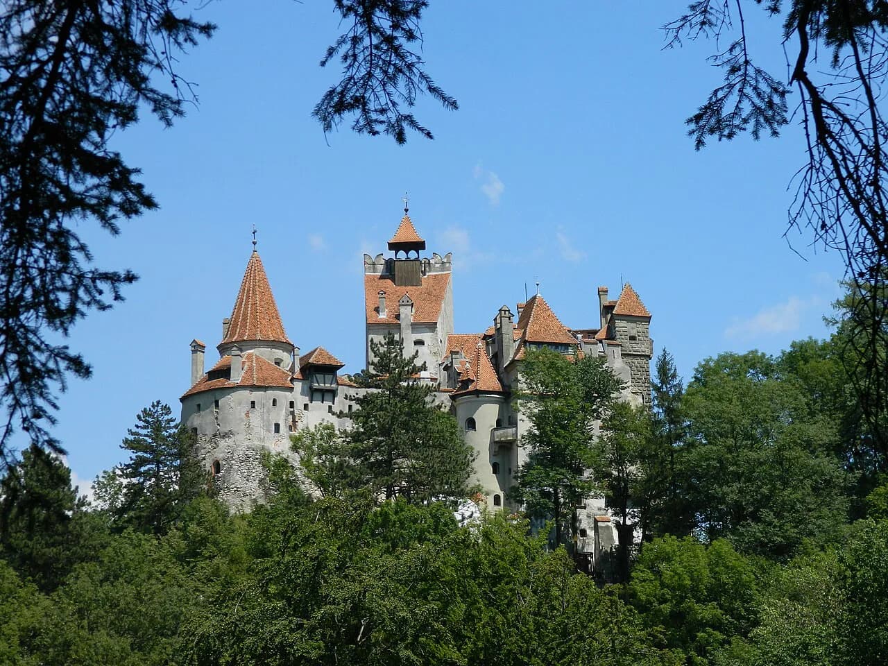
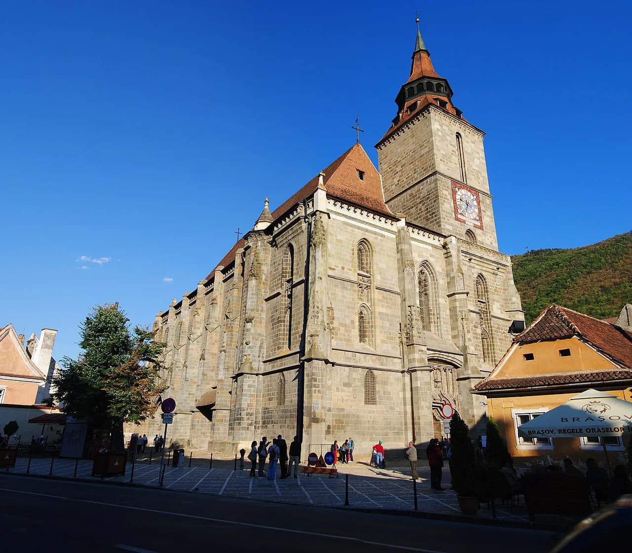
Most visitors do not come to Romania for the mountains alone, and they do not have to choose. Brașov puts Tâmpa above the old centre and the Bucegi and Piatra Craiului within a day, so a city break can include real mountain time without a separate expedition. Sibiu faces the Făgăraș across the plain and works as a second base.
The Prahova Valley is the other hinge, carrying the road and rail corridor north from Bucharest past the Bucegi and on to Brașov. Building a trip along it means castles and mountains on the same day rather than two separate holidays.
Which range should you pick?
Pick the Bucegi if you have a city break in Brașov and want mountain scenery on a day trip, or Piatra Craiului if you want limestone walking close to town. Choose the Făgăraș only if you are ready for steep approaches and rough ridge ground, and give it more than one day if you want to reach Moldoveanu.
Retezat and the Apuseni suit travellers staying longer and heading west, while Ceahlău and Parâng reward anyone going further off the usual circuit. Build in a spare day for weather and confirm road and hut arrangements before you travel.
Explore more Romania guides
Frequently Asked Questions
Where is Transylvania?
Transylvania is the plateau region enclosed by the Eastern and Southern Carpathians and the Apuseni Mountains, in the centre and north-west of Romania. Brașov and Sibiu are its best-known city bases for the mountains, and the Făgăraș range marks its southern edge.
What does the word 'Carpathian' mean?
The name refers to the mountain arc itself, which runs across Central and Eastern Europe from Austria and the Czech Republic to Romania and Serbia. It is not a Romanian word for a single peak, and the range is divided into Western, Eastern and Southern sections.
What is the prettiest place in Romania?
That depends on what you want from a view. The Bucegi's rock formations and the Făgăraș ridge above Bâlea Lake are the classic mountain answers, while the Apuseni's caves and villages suit travellers who prefer lower ground and settlements to high summits.
Sources
Useful notes for your next trip
Optional updates to our guides.
You might also like
Continue reading
More guides you'll find useful