Piatra Craiului National Park: Ridge, Gateway Towns and Trails
Plan a visit to Piatra Craiului National Park: the limestone ridge above Zărnești, the villages that work as starting points, and the park's marked trails.
On this page
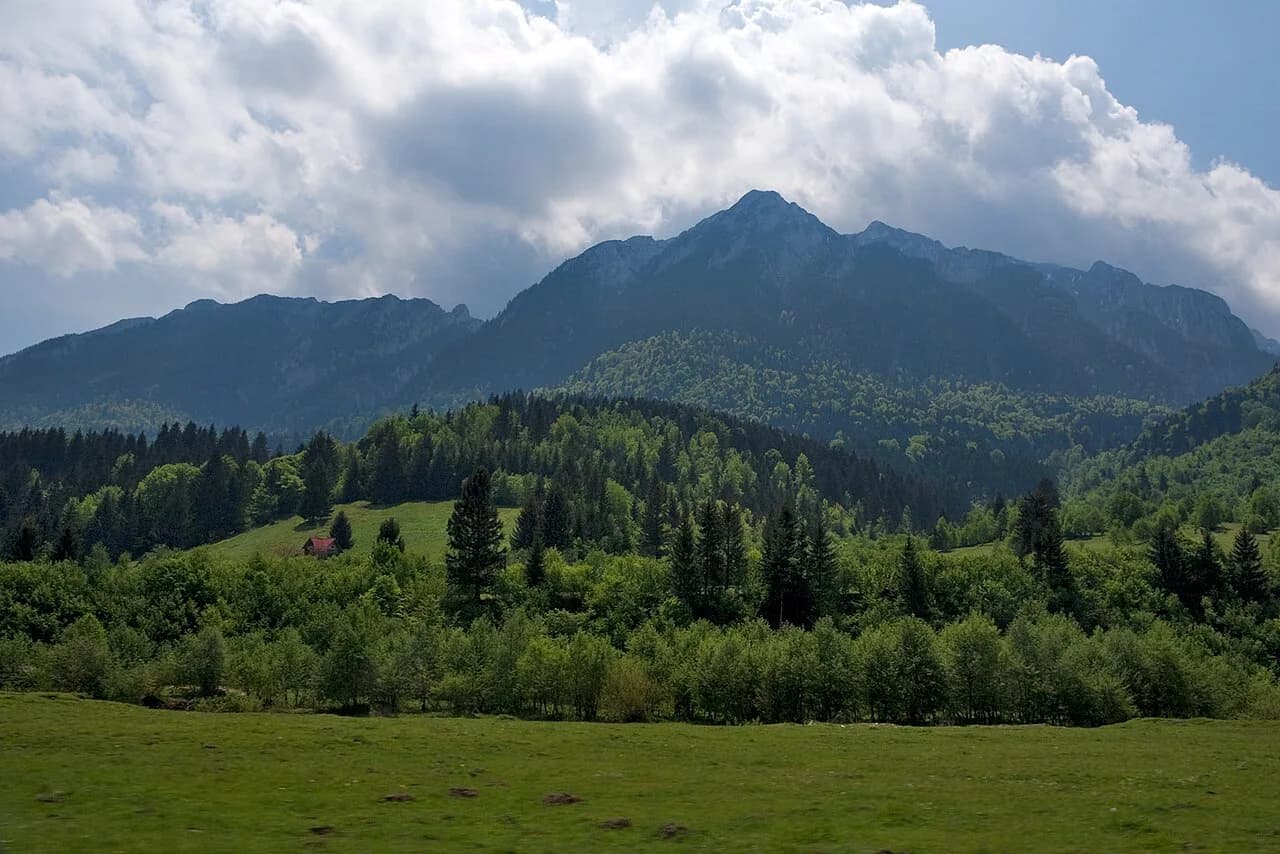
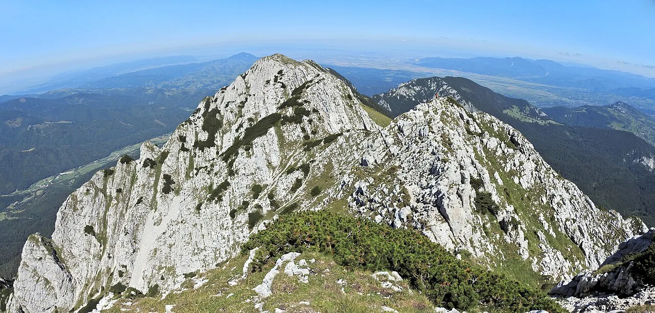
Piatra Craiului National Park protects a limestone ridge in the Southern Carpathians, and Zărnești is the practical gateway for most visitors arriving from Brașov. The park description gives the ridge as over 15 miles long and 6,560 ft high, set inside a protected area of 91,000 acres. This guide sets out which side of the ridge to approach from, where the trailheads sit, and what the walking actually involves.
It is one of several protected upland areas covered in the wider guide to the Carpathian Mountains, which is the sensible place to start if you are choosing between ranges for a short trip.
Where the park sits between Brașov and Sibiu
The park lies in the Southern Carpathians, with Brașov about 20 miles to the north-east, Bucharest roughly 98 miles south and Sibiu around 92 miles west. Those distances make it the easiest mountain day out from a Brașov city break, and a workable detour from Sibiu if you have a car.
The park's defining feature is the narrow limestone spine that runs north to south, bordered by glacial lakes and dropping at its southern end into gorges and pitted karst slopes. The park's own description calls the ridge one of the most beautiful sights in the Carpathians, and notes that backdrop scenes for the film Cold Mountain were shot here. Read the ridge as the headline and the surrounding valleys as the accessible fringe.
Access points named by the park authority include Bran, Cheia, Dâmbovicioara, Măgura, Moeciu, Peștera, Podu Dâmboviței, Sătic, Șirnea and Zărnești. That list is the single most useful thing to note before booking: it tells you the park is entered from several villages, not from one gate. If you are weighing this against other upland areas, the overview of Mountains in Romania puts the ranges side by side.
Zărnești and Plaiul Foii: the northern approach
Zărnești is the main gateway to the northern ridge, sitting about 18 miles south-west of Brașov and reachable by both car and train. From the town, the chalet at Plaiul Foii lies about 2.5 miles east and works as the classic starting point for walks into the park. Basing yourself in Zărnești keeps the drive short and puts you on the northern side before the day's walk begins.
The train option matters for travellers without a car: Zărnești is the nearest railway station to the park. Pair the train with a taxi or a local transfer for the last stretch to Plaiul Foii.
For a broader look at how this range fits with Romania's other protected areas, the guide to Romania national parks covers the alternatives.
The eastern slope villages: Măgura, Peștera, Ciocanu and Șirnea
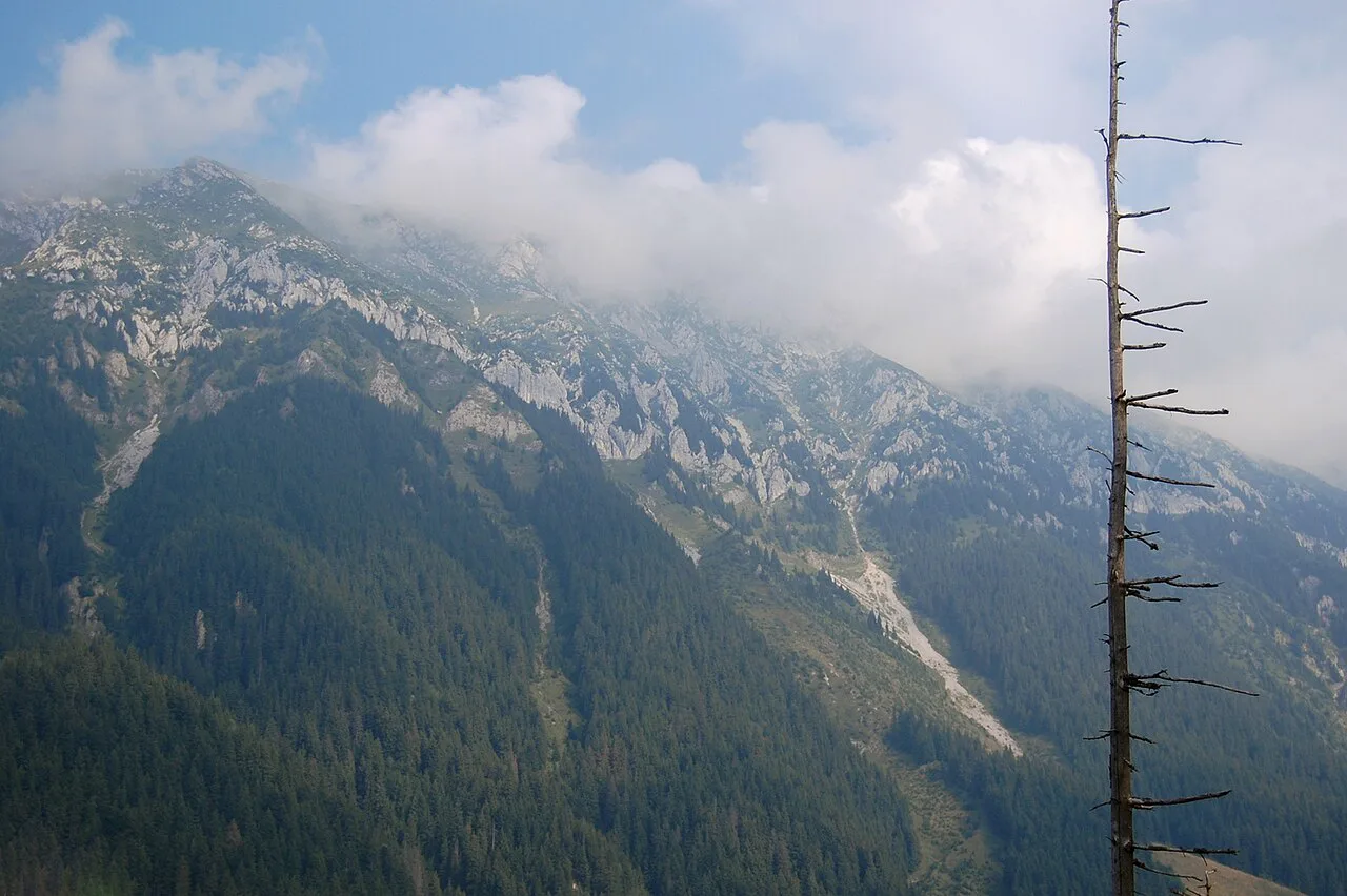
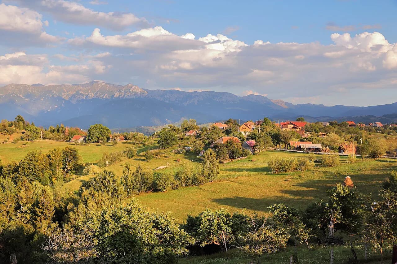
On the eastern side of the ridge, the villages of Măgura, Peștera, Ciocanu and Șirnea serve as starting points for routes up that slope. They are traditional villages rather than resort bases, which is exactly why walkers use them: you start higher and on quieter paths than from the Zărnești road. Pick one village and plan your route from there rather than trying to sample all four in a day.
Road access to these villages is by minor roads off the Bran and Moeciu corridor, so a car gives you far more flexibility than public transport.
Approaching from the south: Podu Dâmboviței and the Dâmbovicioara valley
From the south, Podu Dâmboviței is the point of approach, where road DN 73 branches off onto the Valea Dâmboviței road through Săticu de Jos and Săticu de Sus. Several routes leave those villages for the western slope of the southern ridge. This is the approach to choose if you are driving up from Bucharest rather than from Brașov.
The southern end of the range is also where the karst scenery concentrates, with deep gorges and caves cut into the limestone. Expect a different walk from the northern one: shorter valley routes and cave visits rather than a long pull up to a spine. If caves are your interest, the wider guide to caves in Romania covers what else the country holds.
Getting there without a car
Without a car, build the trip around Zărnești: take the train from Brașov, then arrange a transfer or taxi for the 2.5 miles to Plaiul Foii. Zărnești is the nearest station to the park, so it is worth checking rail times with CFR Călători, the Romanian state railway, before you book rather than relying on any fixed list. Allow a full day for the round trip, since the train times set your margins.
A car opens up the eastern villages and the southern DN 73 approach, which is the approach to choose when driving up from Bucharest rather than from Brașov.
The two-day north–south ridge trail
The signature route is the two-day north–south traverse of the ridge, which the park describes as both challenging and rewarding. You start at either Plaiul Foii in the north-west or Curmătura in the north-east, climb onto the narrow spine, and follow it south before descending into the gorge country. Plan an overnight stop: this is not a day walk, and the route is best taken as a committed two-day outing.
Because the ridge is a narrow limestone spine, the traverse suits walkers comfortable on exposed ground. If time or settled weather is in doubt, use the valley and village routes instead.
Comparisons with other Southern Carpathian outings are worth making before you commit, and the guide to Retezat National Park covers a very different massif in the same chain.
Easier walking on the eastern and western slopes
For a shorter day, the park's network runs to 42 marked hiking trails, spread across the eastern slope villages and the western slope routes above the Dâmbovița valley. Choose a trailhead you can actually reach and walk out and back from it rather than trying to link sides. Mountain bikers have 12 marked trails of their own, so bikes and boots are kept largely apart.
Horseback riding and horse-drawn carriage or sled rides are also listed among the park's activities, which gives non-walkers a way to see the valleys. Use the visitor centre in Zărnești to match a route to your fitness and the day's conditions.
Natural features to look for
Among the named attractions inside the park are the Zărnești Gap, known as Prăpăstiile Zărneștiului, Peștera Dâmbovicioarei (Dâmbovicioara Cave), the Piatra Craiului scree known as Marele Grohotiș, the karst arcade Cerdacul Stanciului and the Dâmbovicioara Gorges, Cheile Dâmbovicioarei. The old cave at Zaplaz is listed alongside them. These are specific places you can plan around, not generic mountain scenery.
The park's wider natural features are caves, meadows, steep rocky walls and spruce forest, and the southern descent leads into a karst landscape of gorges and pitted slopes where water has carved out caves. If you enjoy cave and water scenery, the pages on Red Lake (Lacu Roșu) in Romania and on Ochiul Beiului cover two very different water-and-rock settings elsewhere.
Wildlife and plants
The park shelters chamois, wild boar, red and roe deer, pine martens and red squirrels, plus wolf, brown bear and lynx. Birdlife includes wallcreepers and alpine swifts in the gorges, with three-toed and white-backed woodpeckers and Ural owls in forested areas. Scan the rock faces as you walk through the gorges.
Plant and insect counts are equally striking: over 300 fungi species, 220 lichens, 100 mosses and 1,100 species of higher plants, described as a third of all plant species found in Romania. There are 216 butterfly species, 112 bird species and 21 bat species recorded. Binoculars earn their place here.
The visitor centre at Zărnești
The park administration runs a visitor centre in Zărnești: Centrul de Vizitare Parcul Național Piatra Craiului, at H78R+PJ Zărnești, telephone (+4) 0268 223.165, with further information through the park's own site. Use it to confirm route conditions, trail marking and what is open before you travel rather than treating it as a booking line. Stop in on your first morning if you are based in the town.
Between the centre and the park's own advice, you have the two things that most affect a trip here: access and conditions.
Trade-offs: the ridge or the valleys
The main decision is between the spine and the valleys. The ridge route takes two days and puts you on a narrow limestone line; the valleys give you caves, gorges, village trailheads and birdlife in a single day with an easy exit if the weather turns. Pick the valleys for a first visit and save the ridge for when you have the time and the weather.
A second trade-off is your base. Zărnești and Plaiul Foii keep the northern approach simple, while the eastern villages and the southern Dâmbovița road demand a car but put you closer to quieter paths. If you are also drawn to gorge and waterfall scenery, the Bicaz Gorge is a separate limestone gorge feature covered elsewhere on the site.
Pairing the park with Bran, Râșnov and Făgăraș
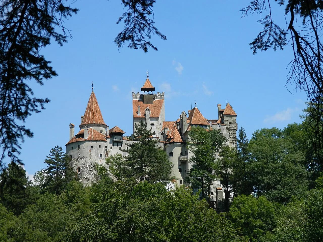
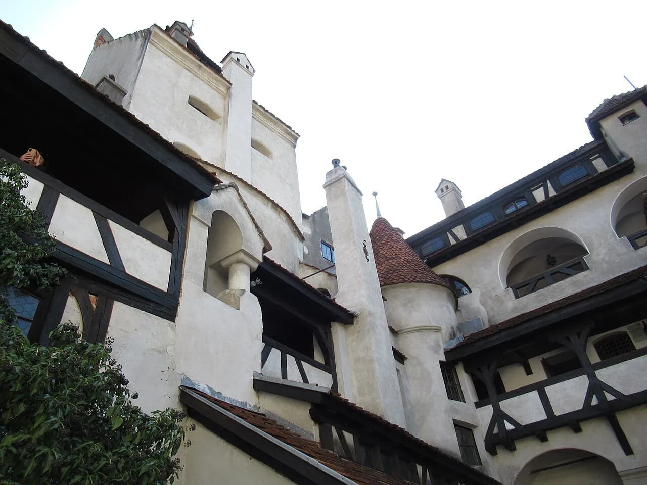
A Brașov-based visit fits neatly with the nearby castles and fortresses: Bran, Râșnov and Făgăraș all sit within the same corner of the country. The park's own pages list Făgăraș Fortress, Râșnov Fortress, the medieval quarter of Brașov and the Equus-Silvania riding centre among nearby attractions. Use one day for the ridge or a valley walk and another for the castles.
Which side of the ridge should you choose?
Choose Zărnești and Plaiul Foii if you want the northern approach, the visitor centre and the start of the ridge traverse, and you can live with a train plus a short transfer. Choose the eastern villages or the southern DN 73 road if you have a car and want valley walks, caves and quieter trailheads. Either way, sort out access and current conditions with the park before you travel.
Explore more Romania guides
Frequently Asked Questions
Does Piatra Craiului National Park have marked trails for mountain biking?
Yes. The park lists 12 marked mountain-bike trails alongside its 42 marked hiking trails, so cyclists have a signed network of their own rather than sharing walking routes.
Can you visit Piatra Craiului National Park by train?
You can reach Zărnești by train, and it is the nearest station to the park. From there you need a taxi or transfer for the 2.5 miles to the Plaiul Foii trailhead. Check current rail times before you go.
How long is the ridge trail in Piatra Craiului?
The north–south ridge traverse is a two-day route, starting from Plaiul Foii in the north-west or Curmătura in the north-east and following the spine south. The park describes it as challenging and rewarding, so plan an overnight stop rather than attempting it in a day.
Is there a visitor centre in Zărnești for the national park?
Yes. The Centrul de Vizitare Parcul Național Piatra Craiului is in Zărnești, at H78R+PJ, on (+4) 0268 223.165. Contact it to confirm route conditions and trail marking before travelling.
What wildlife might you see in Piatra Craiului National Park?
Chamois, red and roe deer, wild boar, pine martens and red squirrels are all recorded, along with wolf, brown bear and lynx. The gorges are good for wallcreepers and alpine swifts, and forested areas for woodpeckers and Ural owls.
Sources
Useful notes for your next trip
Optional updates to our guides.
You might also like

Continue reading
More guides you'll find useful