Map of Romania for Visitors: Regions, Cities and Routes
A visitor's map of Romania by region: Transylvania, Maramureș, Moldavia, Wallachia, Banat and the coast, with the main towns and how they link together.
On this page
Romania sits in Central and Southeastern Europe, on the lower course of the Danube and north of the Balkan Peninsula, which is why a single trip can take in Saxon towns, a delta and a Black Sea coast. Read the country as a ring of regions around the Carpathian arc rather than a list of cities, and the route planning almost does itself. This page sets out what each region on the map is for, which town works as its base, and how the pieces connect by road and rail.
Plan with two map layers: the tourist layer with towns, castles, fortified churches and painted monasteries, and the road layer with the Danube, the Carpathian Mountains and the passes. An interactive regional map is best for choosing where to go, and a printable road map is what you want in the car.
Where Romania sits in Europe
Bulgaria lies across the Danube to the south, Serbia to the south-west, Hungary to the west, Ukraine to the north and the Republic of Moldova to the east. The western towns are therefore natural entry points from Central Europe, and Iași is the obvious one from the east. Rough Guides splits the country into Moldavia, the Banat and Crișana, Transylvania, Maramureș, Wallachia, the Delta and the coast, and Bucharest as its own region, which is a workable planning frame.
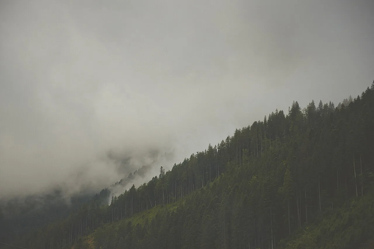
The regions on a visitor map
Six historical regions carry almost everything a short trip covers. Transylvania fills the centre and north-west of the Carpathian arc, Maramureș sits in the far north-west near the Ukrainian border, Moldavia runs along the eastern side into Bucovina, Wallachia is the southern plain up to the Danube, the Banat and Crișana form the western strip, and Dobrogea holds the Delta and the coast. Treat each region as a separate stay rather than a day trip from the capital.
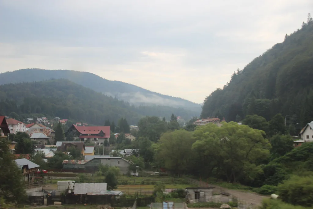
Transylvania: what each town on the map is for
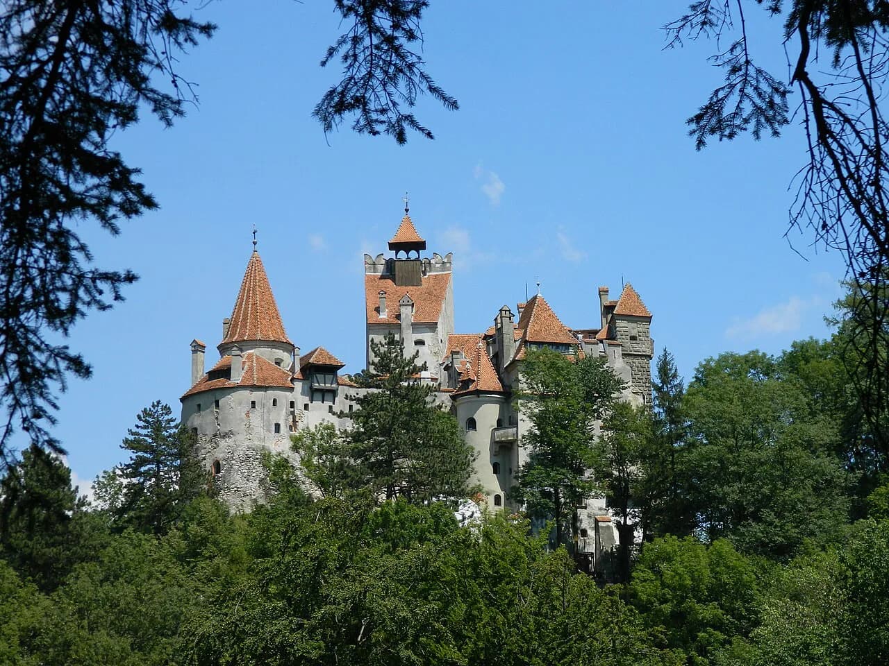
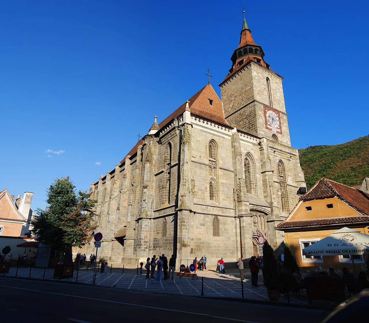
Brașov anchors the south-eastern corner, with the Black Church and Piața Sfatului (Council Square) at its centre and Bran, Râșnov and the Prahova valley castles within a short drive. Sibiu, west of the mountains, gives you Piața Mare (Large Square) and a compact old town that suits a slower couple of days. Sighișoara, between the two, is the one to see on foot: a walled citadel with towers and a hilltop church, small enough to cover in a morning and worth an overnight.
Cluj-Napoca is the northern Transylvanian base, useful for Maramureș and the Apuseni Mountains as well as the city itself. Alba Iulia, south of Cluj, is the stop for the star-shaped fortress and works well on the road between Cluj and Sibiu. A sensible loop runs Brașov to Sighișoara to Sibiu and back over the mountains, or Cluj to Alba Iulia to Sibiu if you are coming from the north.
The Banat and Crișana: Timișoara and Oradea
Timișoara belongs to the Banat, the flat western strip towards Serbia, while Oradea belongs to Crișana and sits close to the Hungarian border. Both have compact centres of Habsburg and Art Nouveau architecture, and both are practical first nights if you arrive overland from Budapest or Belgrade. From there the map gives you two ways into Transylvania: north via Oradea towards Cluj-Napoca, or east via Timișoara towards Deva and Alba Iulia.
Moldavia and Bucovina: Iași and the painted monasteries
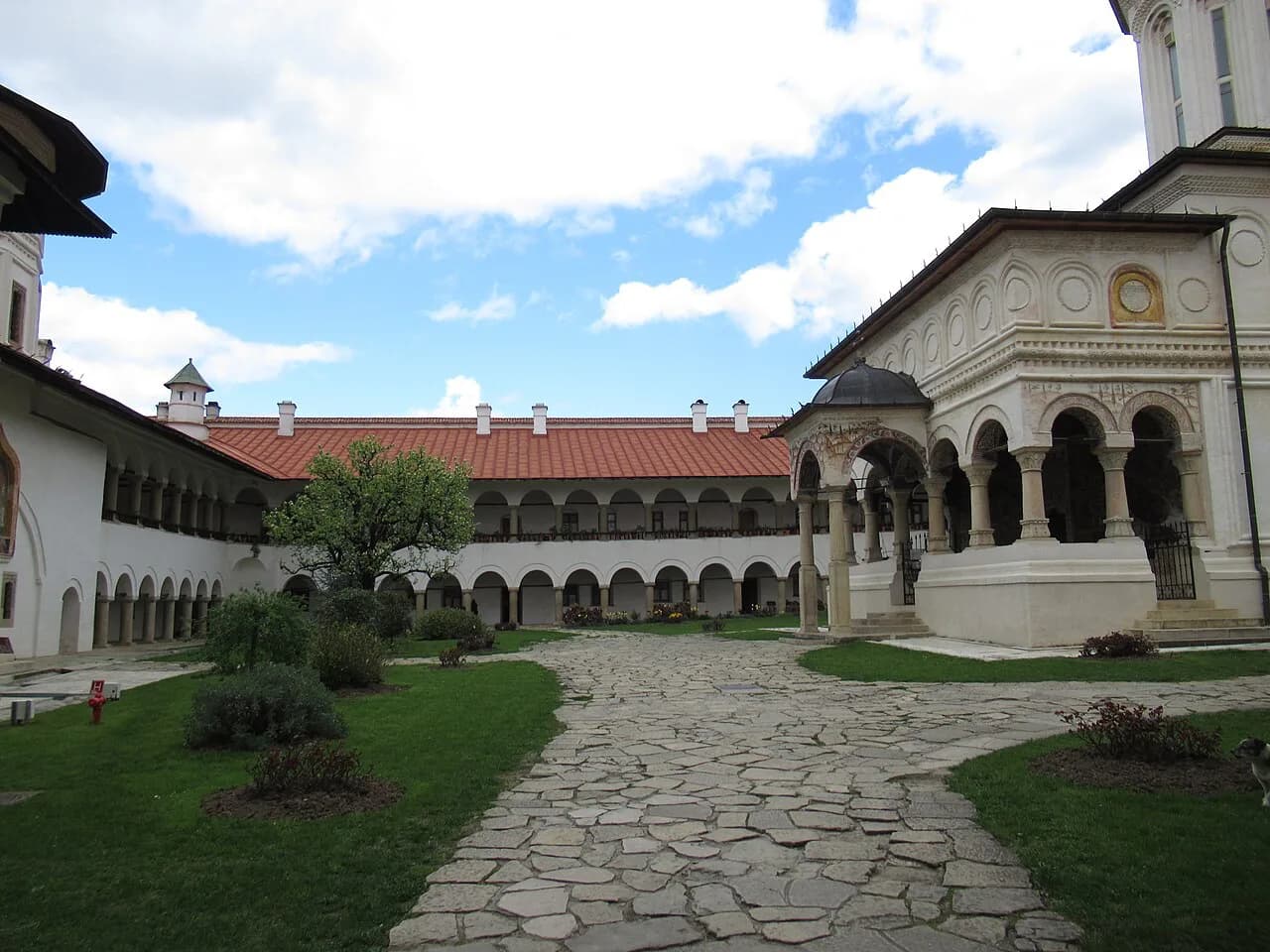
Moldavia runs down the eastern side of the country from the Ukrainian border, with Iași as its main city and cultural centre. North of Iași, Bucovina holds the painted monasteries, including Voroneț, Sucevița and Moldovița, spread out along country roads, so a car or a booked tour makes far more sense than public transport. This is the part of the map most people cut when time is short, and it deserves three or four days if you go.
Wallachia and Bucharest: the southern plain
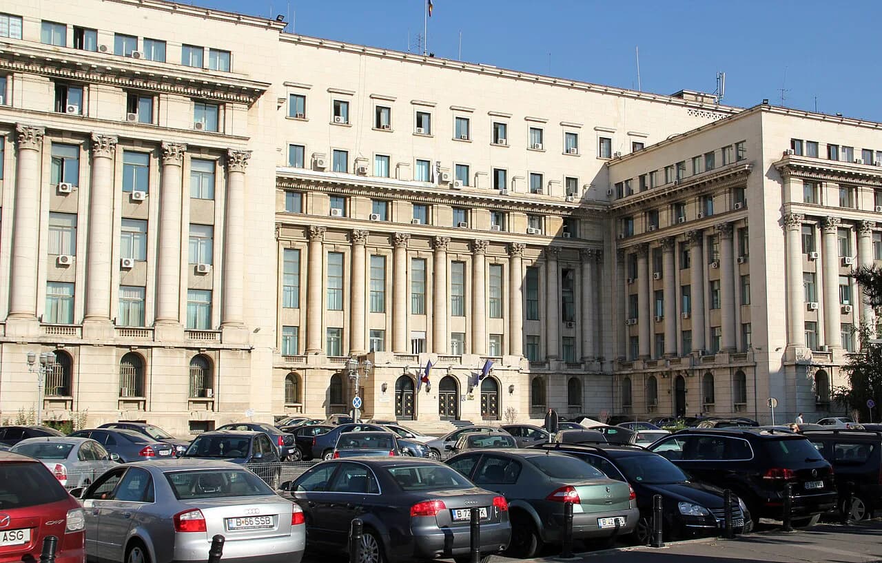
Wallachia covers the southern plain between the Carpathians and the Danube, with Bucharest at its centre and the Palace of the Parliament among the sights that draw visitors to the capital. The region is also the corridor towards Constanța and the Bulgarian border. Bucharest is worth a night or two, but it is not a good base for Transylvania: the Carpathians sit in between, so a Bucharest-to-Brașov leg eats a half day each way. Put the capital at one end of the trip and travel through to the mountains once.
Dobrogea and the coast: Constanța and the Delta
Dobrogea lies east of the Danube, holding the Black Sea coast and the Danube Delta. Constanța is the coastal city on the map and the transport hub for the shore, while Tulcea, at the edge of the Delta, is where the Delta trips start. The region is a long way from the Transylvanian towns, so it belongs at the end of a trip or in a separate one. Rough Guides groups the Delta and the coast as a single region, which is how it works on the ground: rail from Bucharest to the coast, then road or boat north.
The Carpathian arc and the passes that cross it
The Carpathian Mountains curve through the middle of the country, which is why a map of Romania shows few straight routes between the centre and the south. The main road and rail crossings run through the Prahova valley towards Brașov and through the Olt valley towards Sibiu, with the Transfăgărășan as a high summer alternative when it is open. On the map the arc separates Transylvania from Wallachia and Moldavia, so Brașov, Sibiu and Făgăraș are the towns you reach first from the south, while Maramureș and Bucovina sit beyond its northern end. A paper road map shows the passes clearly; an app is fine for the towns but less useful for judging a mountain road.
Castles and fortified churches on the map
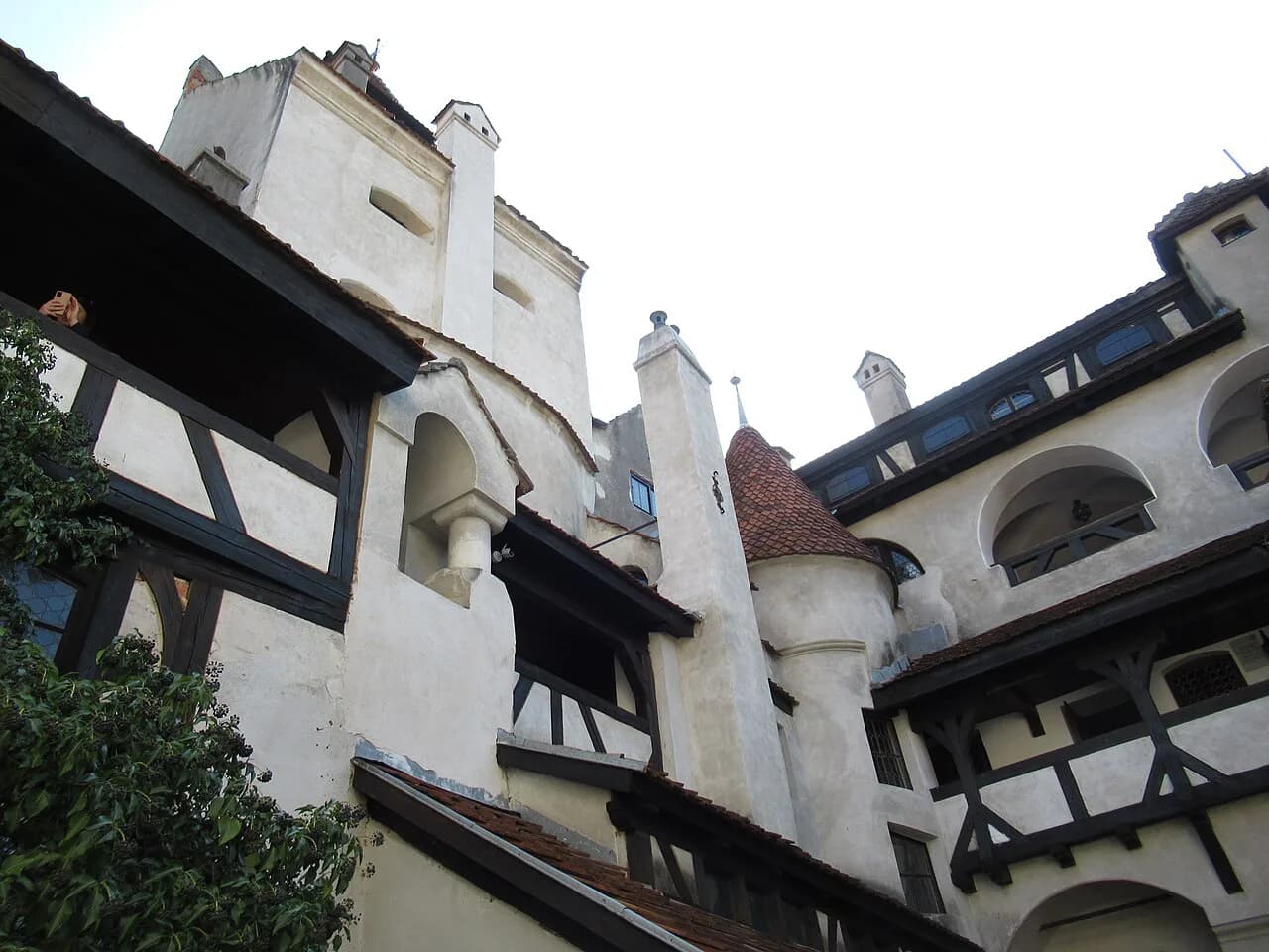
Most of the castle layer clusters in Transylvania and along its edges. Bran Castle sits near Brașov and is widely marketed as Dracula's Castle, though it has very little to do with the fictional character. Peleș Castle is in the Prahova valley at Sinaia, Râșnov Fortress is a short drive from Brașov, and Făgăraș Fortress lies west of Brașov on the road towards Sibiu, so read that cluster as one loop rather than four separate outings. If you want to line up the regions before you plot the castles, start with the Regions of Romania guide.
The Saxon fortified churches run in a ring around Sibiu and Brașov: Biertan, Viscri, Prejmer and Hărman are the ones most often plotted. They are small villages on minor roads, so a car, or a day tour from Sibiu or Brașov, is the practical way to link two or three in a day. Build the route around one village you actually want to see and let the others fall on the way.
Grouping a trip by region, not by town list
The most common planning mistake is zig-zagging: Bucharest, then Brașov, then Cluj, then back to Bucharest. A week might instead run Timișoara or Oradea in, then Cluj-Napoca, down to Alba Iulia and Sibiu, across to Sighișoara and Brașov, and out from Bucharest or back west: one direction of travel with a handful of bases. Two shorter shapes work on this map. A centre-only loop takes in Brașov, Sighișoara, Sibiu and the castles and fortified churches around them; a north-east trip takes Iași and the Bucovina monasteries on their own, reached by flight rather than a long drive.
Which map to use
Use the regional view to see why Brașov, Sibiu and Sighișoara belong together on one loop and why Iași does not, then check the route on the road map, which shows the Danube, the Carpathians and the passes that decide how long a leg really takes. A tourist attractions layer is useful for placing castles, monasteries and fortified churches, but it will not tell you the drive time or whether a road is open. Keep both layers in mind, and look at the individual regions if you want to plan one area in depth.
Which part of Romania goes on your map
Pick one or two regions and build the trip around the town that anchors each. The centre, with Brașov, Sighișoara and Sibiu, carries the castles and fortified churches; the west, with Timișoara and Oradea, is the easiest overland entry; the north-east, with Iași and Bucovina, is the long-haul monastery trip; the south-east, with Constanța and the Delta, is the coastal add-on. Choose the shape first and the sights follow.
Use the map as a planning tool, then check train times, road conditions and opening days before you commit to a route. A Romanian road atlas alongside an app is the practical combination for the mountain crossings, and the number of bases you are willing to move between sets the pace.
Explore more Romania guides
Sources
Useful notes for your next trip
Optional updates to our guides.
You might also like
Continue reading
More guides you'll find useful